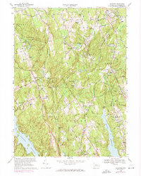
1969 Map of Botsford
USGS Topo · Published 1974About this map
Huntington State Park and the high ridges of Fairfield County define this landscape as it appeared in the early 1970s. The area is characterized by a transition from traditional rural hamlets to developing suburban communities, centered around crossroads like Redding Ridge and Stepney. Significant water infrastructure is visible in the massive Saugatuck Reservoir and Easton Reservoir, which dominate the southern half of the sheet. Local genealogy and religious history are anchored by landmarks such as St Patricks Ch and the Tashua Burial Ground Christ Ch. The Penn Central rail line cuts through the northeast corner near Botsford, reflecting the industrial and transport links that shaped these upland towns. The map captures a moment when mid-century institutions like Barlow High Sch were established alongside older landmarks like Union Cem and Five Points.
Find a feature on this map
115 named features on this map. Tap any name to fly to it.
Don’t see what you’re looking for? This feature index may not catch every label — zoom into the map to look around manually.
Map Details
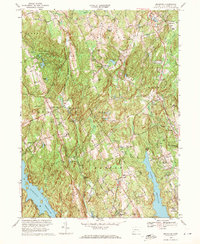
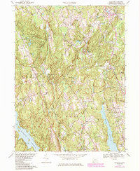
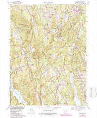
Editions of this 1969 Botsford Map
4 editions found
Other maps of this area

1889 · Derby
USGS Topo · 1:62,500

1891 · Bridgeport
USGS Topo · 1:62,500

1891 · Derby
USGS Topo · 1:62,500

1892 · Danbury
USGS Topo · 1:62,500

1892 · Norwalk
USGS Topo · 1:62,500

1893 · Bridgeport
USGS Topo · 1:62,500

1893 · Norwalk
USGS Topo · 1:62,500

1893 · Derby
USGS Topo · 1:62,500

1915 · Danbury
USGS Topo · 1:62,500

1920 · Bridgeport
USGS Topo · 1:62,500