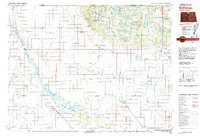
1980 Map of Bottineau
USGS Topo · Published 1980About this map
The Turtle Mountains rise along the northern edge of the prairie, creating a wooded and lake-studded highland that straddles the border between Manitoba and North Dakota. This region is defined by a dense network of protected lands and conservation areas, including the International Peace Garden on the international boundary and Lake Metigoshe State Park. South of these hills, the plains are etched by the winding path of the Souris River, which flows through the extensive J. Clark Salyer National Wildlife Refuge.
Find a feature on this map
90 named features on this map. Tap any name to fly to it.
Don’t see what you’re looking for? This feature index may not catch every label — zoom into the map to look around manually.
Map Details
Editions of this 1980 Bottineau Map
This is the sole edition of this map. No revisions or reprints were ever made.
Other maps of this area
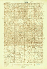
1935 · Dunseith
USGS Topo · 1:48,000
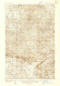
1936 · Lake Upsilon
USGS Topo · 1:48,000
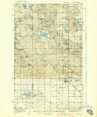
1939 · Dunseith
USGS Topo · 1:62,500
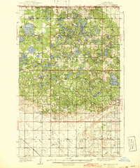
1942 · Lake Upsilon
USGS Topo · 1:62,500
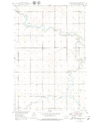
1948 · Newburg SW
USGS Topo · 1:24,000
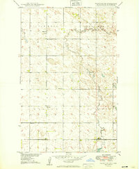
1949 · Granville NE
USGS Topo · 1:24,000
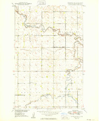
1949 · Newburg SW
USGS Topo · 1:24,000
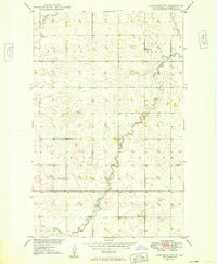
1949 · Granville NW
USGS Topo · 1:24,000
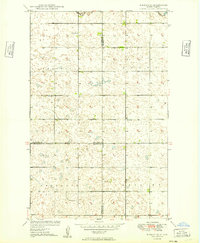
1949 · Eckman SE
USGS Topo · 1:24,000
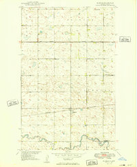
1949 · Eckman
USGS Topo · 1:24,000