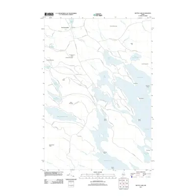
2011 Map of Bottle Lake
USGS Topo · Published 2011About this map
South Springfield anchors the northwestern corner of this landscape, situated just south of Lowell Dam on Lowell Lake. The terrain is defined by a dense network of water bodies, including the sprawling Junior Lake, Keg Lake, and Sysladobsis Lake, which are interconnected by various brooks and streams like Bottle Lake Stream and Weymouth Brook. Local elevation is marked by prominent peaks such as Almanac Mountain, which features the Almanac Mountain Lookout Tower, as well as Getchell Mountain and Lombard Mountain. The map details a web of specialized roads and trails, including Pug Lakes Rd, Mill Privilege Rd, and Long Point Rd, which provide access to remote points like McKinney Point and Long Point. This area reveals a classic Maine interior, where the economic and social life is inextricably linked to its lakes and the timberlands surrounding Mill Privilege Lake and Upper Pug Lake.
Find a feature on this map
85 named features on this map. Tap any name to fly to it.
Don’t see what you’re looking for? This feature index may not catch every label — zoom into the map to look around manually.
Map Details
Editions of this 2011 Bottle Lake Map
This is the sole edition of this map. No revisions or reprints were ever made.
Other maps of this area

1931 · Springfield
USGS Topo · 1:48,000

1932 · Nicatous Lake
USGS Topo · 1:48,000

1934 · Nicatous Lake
USGS Topo · 1:62,500

1934 · Springfield
USGS Topo · 1:62,500

1941 · Scraggly Lake
USGS Topo · 1:62,500

1941 · Wabassus Lake
USGS Topo · 1:62,500

1943 · Wabassus Lake
USGS Topo · 1:62,500

1944 · Scraggly Lake
USGS Topo · 1:62,500

1953 · Wabassus Lake
USGS Topo · 1:62,500

1954 · Millinocket
USGS Topo · 1:250,000