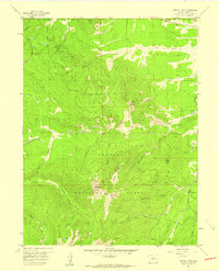
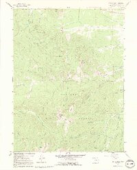
1957 Map of Bottle Pass
USGS Topo · Published 1959About this map
Arapaho National Forest dominates this high-altitude landscape in Grand County, Colorado, defined by sharp ridgelines and the critical management of alpine water resources during the late 1950s. The map illustrates an intricate system of water diversion, including the Big Six Ditch and the St Louis Aqueduct, which channel runoff from the slopes of Blue Ridge and Byers Peak. These engineering features highlight the importance of the Continental Divide's western slope to downstream water users.
Find a feature on this map
45 named features on this map. Tap any name to fly to it.
Don’t see what you’re looking for? This feature index may not catch every label — zoom into the map to look around manually.
Map Details
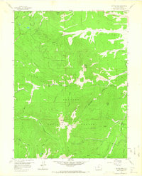
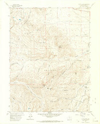
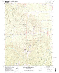
Editions of this 1957 Bottle Pass Map
5 editions found
Other maps of this area

1915 · Longs Peak
USGS Topo · 1:125,000

1919 · Rocky Mountain National Park
USGS Topo · 1:125,000

1924 · Fraser
USGS Topo · 1:62,500

1926 · Fraser
USGS Topo · 1:62,500

1933 · Ute Peak
USGS Topo · 1:62,500

1937 · Ute Peak
USGS Topo · 1:62,500

1953 · Denver
USGS Topo · 1:250,000

1954 · Greeley
USGS Topo · 1:250,000

1954 · Craig
USGS Topo · 1:250,000

1957 · Denver
USGS Topo · 1:250,000