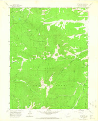
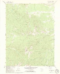
1957 Map of Bottle Pass
USGS Topo · Published 1967About this map
Arapaho National Forest dominates this high-altitude terrain, where complex water management systems intersect with the Divide's natural drainages. This 1957 field survey reveals the intricate infrastructure of the Big Six Ditch and various aqueducts that redirected alpine runoff across the ridges. The eastern edge of the quadrangle features the Fraser Experimental Sta, a significant site for forestry and watershed research established decades before this mapping.
Find a feature on this map
47 named features on this map. Tap any name to fly to it.
Don’t see what you’re looking for? This feature index may not catch every label — zoom into the map to look around manually.
Map Details
Editions of this 1957 Bottle Pass Map
5 editions found
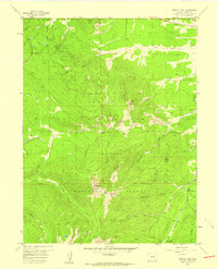
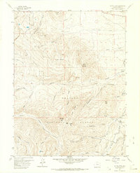
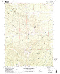
Other maps of this area

1915 · Longs Peak
USGS Topo · 1:125,000

1919 · Rocky Mountain National Park
USGS Topo · 1:125,000

1924 · Fraser
USGS Topo · 1:62,500

1926 · Fraser
USGS Topo · 1:62,500

1933 · Ute Peak
USGS Topo · 1:62,500

1937 · Ute Peak
USGS Topo · 1:62,500

1953 · Denver
USGS Topo · 1:250,000

1954 · Greeley
USGS Topo · 1:250,000

1954 · Craig
USGS Topo · 1:250,000

1957 · Denver
USGS Topo · 1:250,000