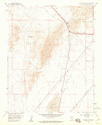
1958 Map of Boulder City NW
USGS Topo · Published 1959About this map
Alunite (Site) stands as a focal point of industrial history near the junction of the McCullough Range and the River Mountains. During the late 1950s, this desert landscape was defined by its mineral extraction and transportation corridors, specifically the Union Pacific railroad winding through Railroad Pass. The map details the transition from the high ridges of Dutchman Pass down into the sweeping Eldorado Valley (Depression), where a prominent Dry Lake dominates the southern basin. Local mining operations are clearly marked, including the Quo Vadis Mine and the Blue Quartz Mine, alongside the expansive Boulder City Municipal Area boundary. The surveying provides a precise look at the infrastructure supporting these remote desert outposts, from pipelines to the specific shafts and tunnels of the Alunite Mine.
Find a feature on this map
15 named features on this map. Tap any name to fly to it.
Don’t see what you’re looking for? This feature index may not catch every label — zoom into the map to look around manually.
Map Details
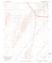
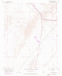
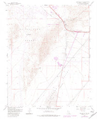
Editions of this 1958 Boulder City NW Map
4 editions found
Other maps of this area

1886 · Camp Mohave
USGS Topo · 1:250,000

1886 · Saint Thomas
USGS Topo · 1:250,000

1892 · Camp Mohave
USGS Topo · 1:250,000

1893 · Saint Thomas
USGS Topo · 1:250,000

1907 · Las Vegas
USGS Topo · 1:250,000

1908 · Las Vegas
USGS Topo · 1:250,000

1910 · Ivanpah
USGS Topo · 1:250,000

1912 · Ivanpah
USGS Topo · 1:250,000

1926 · Nelson
USGS Topo · 1:96,000

1926 · Boulder Canyon
USGS Topo · 1:96,000