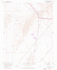
1958 Map of Boulder City NW
USGS Topo · Published 1976About this map
Mining operations and high-desert transit corridors define this landscape northwest of the city during the late 1950s. The northern portion of the McCullough Range dominates the topography, featuring isolated extraction points like the Quo Vadis Mine and the Blue Quartz Mine. Strategic natural gaps in the terrain provide vital passage for infrastructure, most notably at Railroad Pass, where the Union Pacific railroad and major highways converge to enter the basin.
Find a feature on this map
18 named features on this map. Tap any name to fly to it.
Don’t see what you’re looking for? This feature index may not catch every label — zoom into the map to look around manually.
Map Details
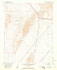
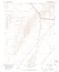
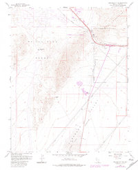
Editions of this 1958 Boulder City NW Map
4 editions found
Other maps of this area

1886 · Camp Mohave
USGS Topo · 1:250,000

1886 · Saint Thomas
USGS Topo · 1:250,000

1892 · Camp Mohave
USGS Topo · 1:250,000

1893 · Saint Thomas
USGS Topo · 1:250,000

1907 · Las Vegas
USGS Topo · 1:250,000

1908 · Las Vegas
USGS Topo · 1:250,000

1910 · Ivanpah
USGS Topo · 1:250,000

1912 · Ivanpah
USGS Topo · 1:250,000

1926 · Nelson
USGS Topo · 1:96,000

1926 · Boulder Canyon
USGS Topo · 1:96,000