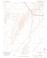
1958 Map of Boulder City NW
USGS Topo · Published 1968About this map
Railroad Pass serves as the central hub for this late-1950s landscape, where infrastructure and mining converge in the high desert of Clark County. The Union Pacific railroad cuts through the mountains, navigating a series of tunnels and shafts that reflect the industrial activity near the Alunite (Site). This area is a critical corridor between the McCullough Range and the River Mountains, marked by several isolated extraction points like the Blue Quartz Mine and the Quo Vadis Mine. To the south, the topography descends into the Eldorado Valley (Depression), terminating at the seasonally arid expanse of Dry Lake. The map illustrates the early development of the Boulder City Municipal Area Boundary, showing how early transportation routes and resource extraction sites defined the regional geography before modern expansion.
Find a feature on this map
21 named features on this map. Tap any name to fly to it.
Don’t see what you’re looking for? This feature index may not catch every label — zoom into the map to look around manually.
Map Details
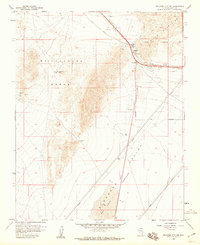
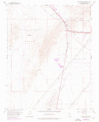
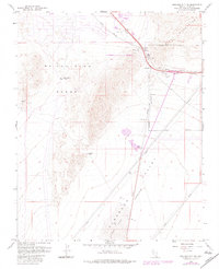
Editions of this 1958 Boulder City NW Map
4 editions found
Other maps of this area

1886 · Camp Mohave
USGS Topo · 1:250,000

1886 · Saint Thomas
USGS Topo · 1:250,000

1892 · Camp Mohave
USGS Topo · 1:250,000

1893 · Saint Thomas
USGS Topo · 1:250,000

1907 · Las Vegas
USGS Topo · 1:250,000

1908 · Las Vegas
USGS Topo · 1:250,000

1910 · Ivanpah
USGS Topo · 1:250,000

1912 · Ivanpah
USGS Topo · 1:250,000

1926 · Nelson
USGS Topo · 1:96,000

1926 · Boulder Canyon
USGS Topo · 1:96,000