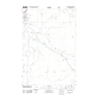
2011 Map of Boulder East
USGS Topo · Published 2011About this map
Boulder serves as the primary hub in this Jefferson County landscape, where the Boulder River winds through a valley defined by deep gulches and significant ranching history. The settlement is anchored by community landmarks such as the Boulder Post Office, the Boulder Vol Fire Dept, and the local Boulder Cemetery. Evidence of historical land use appears at the Chinese Diggins west of the river, while the presence of the Boulder River School and Hospital and the Boulder Airport indicates the town's role as a regional service center.
Find a feature on this map
63 named features on this map. Tap any name to fly to it.
Don’t see what you’re looking for? This feature index may not catch every label — zoom into the map to look around manually.
Map Details
Editions of this 2011 Boulder East Map
This is the sole edition of this map. No revisions or reprints were ever made.
Other maps of this area

1886 · Fort Logan
USGS Topo · 1:250,000

1889 · Helena
USGS Topo · 1:250,000

1893 · Helena
USGS Topo · 1:250,000

1899 · Boulder
USGS Topo · 1:125,000

1899 · Helena
USGS Topo · 1:250,000

1903 · Helena
USGS Topo · 1:250,000

1947 · Butte
USGS Topo · 1:250,000

1948 · White Sulphur Springs
USGS Topo · 1:250,000

1950 · Devils Fence
USGS Topo · 1:62,500

1950 · Jefferson City
USGS Topo · 1:62,500