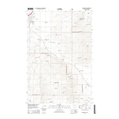
2014 Map of Boulder East
USGS Topo · Published 2014About this map
Boulder serves as the focal point for this corner of Jefferson County, where the street grid of S Main St and N Adams St meets the winding Boulder River. The landscape transitions from the developed town site near Capital Hill into the vast public lands of the Deerlodge National Forest. To the south, the Boulder Valley opens up, defined by a network of drainage systems including McCarty Creek and Farnham Creek. Notable landmarks include the Boulder Airport, the historic Boulder Cemetery, and the Boulder River Bridge. This survey captures a mix of mountain terrain and agricultural valley floor, with numerous named springs like Schoolhouse Spring and Rosie Murphy Spring suggesting the critical importance of water rights and remote homesteading locations in this part of Montana.
Find a feature on this map
80 named features on this map. Tap any name to fly to it.
Don’t see what you’re looking for? This feature index may not catch every label — zoom into the map to look around manually.
Map Details
Editions of this 2014 Boulder East Map
This is the sole edition of this map. No revisions or reprints were ever made.
Other maps of this area

1886 · Fort Logan
USGS Topo · 1:250,000

1889 · Helena
USGS Topo · 1:250,000

1893 · Helena
USGS Topo · 1:250,000

1899 · Boulder
USGS Topo · 1:125,000

1899 · Helena
USGS Topo · 1:250,000

1903 · Helena
USGS Topo · 1:250,000

1947 · Butte
USGS Topo · 1:250,000

1948 · White Sulphur Springs
USGS Topo · 1:250,000

1950 · Devils Fence
USGS Topo · 1:62,500

1950 · Jefferson City
USGS Topo · 1:62,500