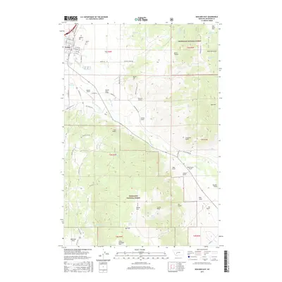
2017 Map of Boulder East
USGS Topo · Published 2017About this map
Boulder serves as the primary settlement on this landscape, positioned where the Boulder River and Little Boulder River converge. The town's grid, including streets like N Main and E Centennial Ave, sits adjacent to the Boulder Cem and the Boulder Airport. Much of the southern and eastern terrain is defined by the high country of the Deerlodge National Forest, where features such as Ryan Mtn and Bull Mtn rise above deep drainages like Crazyman Gulch and Black Canyon. The map records a complex network of forest roads and trails, including Chinese Diggings Rd and Beaver Creek Trl, which provide access to remote water sources like Manganese Spring and Schoolhouse Spring. In the valley floor, the Boulder River Bridge carries traffic over the water near the Boulder Valley area, highlighting the historical importance of these river crossings for mountain commerce.
Find a feature on this map
74 named features on this map. Tap any name to fly to it.
Don’t see what you’re looking for? This feature index may not catch every label — zoom into the map to look around manually.
Map Details
Editions of this 2017 Boulder East Map
This is the sole edition of this map. No revisions or reprints were ever made.
Other maps of this area

1886 · Fort Logan
USGS Topo · 1:250,000

1889 · Helena
USGS Topo · 1:250,000

1893 · Helena
USGS Topo · 1:250,000

1899 · Boulder
USGS Topo · 1:125,000

1899 · Helena
USGS Topo · 1:250,000

1903 · Helena
USGS Topo · 1:250,000

1947 · Butte
USGS Topo · 1:250,000

1948 · White Sulphur Springs
USGS Topo · 1:250,000

1950 · Devils Fence
USGS Topo · 1:62,500

1950 · Jefferson City
USGS Topo · 1:62,500