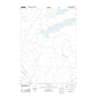
2012 Map of Boulder Lake
USGS Topo · Published 2012About this map
Boulder Lake dominates the upper half of this high-plains landscape in Sublette County, serving as a focal point for local water management and recreation. The New Fork River and E Fork River converge in the southwest, where the small community of Boulder is anchored by the Boulder Cem. This area reflects a specialized ranching and resource economy, evidenced by features such as the Boulder Lake Drift Fence and the Crested Wheatgrass Windmill.
Find a feature on this map
35 named features on this map. Tap any name to fly to it.
Don’t see what you’re looking for? This feature index may not catch every label — zoom into the map to look around manually.
Map Details
Editions of this 2012 Boulder Lake Map
This is the sole edition of this map. No revisions or reprints were ever made.
Other maps of this area

1955 · Lander
USGS Topo · 1:250,000

1958 · Lander
USGS Topo · 1:250,000

1961 · Lander
USGS Topo · 1:250,000

1964 · Fremont Butte
USGS Topo · 1:24,000

1964 · Two Buttes Reservoir
USGS Topo · 1:24,000

1964 · Boulder Lake
USGS Topo · 1:24,000

1964 · Boulder
USGS Topo · 1:24,000
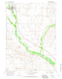
1964 · Pinedale
USGS Topo · 1:24,000

1964 · Fremont Lake South
USGS Topo · 1:24,000
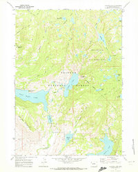
1968 · Fayette Lake
USGS Topo · 1:24,000