
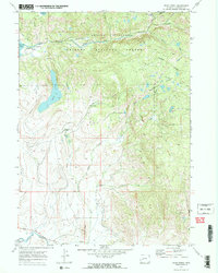
1964 Map of Boulder
USGS Topo · Published 1968About this map
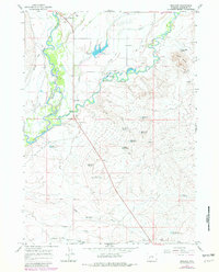
Boulder and New Fork serve as the primary hubs in this ranching landscape where the New Fork River and East Fork River meet. The map reveals an intricate mid-century water management system essential for high-altitude Wyoming agriculture, dominated by the Boulder Canal and a network of ditches including the Oliver Ditch and Paradise Ditch. Family legacy is etched into the land through features like the Vible Cem, Vible Reservoir, and Bailey Res No 2, while the Boulder Fish Hatchery highlights the local importance of the river systems. To the south, the terrain transitions into the dry channel of Sand Springs Draw and Alkali Creek. The historical layer is deepened by the presence of the Emigrant Trail cutting across the southern sections, marking the path of westward expansion long before the established roads of the 1960s.
Find a feature on this map
34 named features on this map. Tap any name to fly to it.
Don’t see what you’re looking for? This feature index may not catch every label — zoom into the map to look around manually.
Map Details
Editions of this 1964 Boulder Map
2 editions found
Other maps of this area

1955 · Lander
USGS Topo · 1:250,000

1958 · Lander
USGS Topo · 1:250,000

1961 · Lander
USGS Topo · 1:250,000

1964 · Fremont Butte
USGS Topo · 1:24,000

1964 · Two Buttes Reservoir
USGS Topo · 1:24,000
1964 · Square Top
USGS Topo · 1:24,000

1964 · Boulder Lake
USGS Topo · 1:24,000
1964 · Olsen Ranch
USGS Topo · 1:24,000
1964 · Pinedale
USGS Topo · 1:24,000
1968 · Scab Creek
USGS Topo · 1:24,000