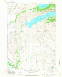
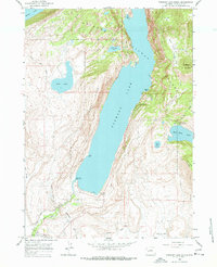
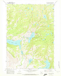
1964 Map of Boulder Lake
USGS Topo · Published 1968About this map
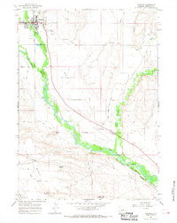
The New Fork River and East Fork River converge in this high-altitude landscape of Sublette County, where the plains meet the southern edge of the Bridger National Forest. The settlement of Boulder serves as a small hub amidst a complex network of water management features, including the Howard Routh Ditch, Burkhalter Ditch, and Oliver Ditch. These irrigation channels reveal the area's agricultural reliance on mountain runoff, diverting water from Boulder Creek across the valley floor.
Find a feature on this map
30 named features on this map. Tap any name to fly to it.
Don’t see what you’re looking for? This feature index may not catch every label — zoom into the map to look around manually.
Map Details
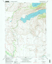
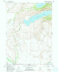
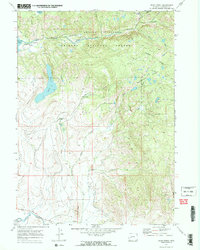
Editions of this 1964 Boulder Lake Map
3 editions found
Other maps of this area

1955 · Lander
USGS Topo · 1:250,000

1958 · Lander
USGS Topo · 1:250,000

1961 · Lander
USGS Topo · 1:250,000
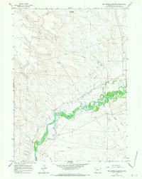
1964 · Fremont Butte
USGS Topo · 1:24,000
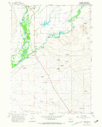
1964 · Two Buttes Reservoir
USGS Topo · 1:24,000
1964 · Boulder
USGS Topo · 1:24,000
1964 · Pinedale
USGS Topo · 1:24,000
1964 · Fremont Lake South
USGS Topo · 1:24,000
1968 · Fayette Lake
USGS Topo · 1:24,000
1968 · Scab Creek
USGS Topo · 1:24,000