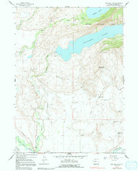
1964 Map of Boulder Lake
USGS Topo · Published 1991About this map
Boulder sits at the heart of this landscape where high mountain waters meet the ranching infrastructure of the basin. The transition from the rugged slopes of the Bridger National Forest to the valley floor is defined by an intricate network of irrigation projects, including the Boulder Canal, Fayette Ditch, and Howard Routh Ditch. These systems divert water from Boulder Lake and Burnt Lake to support local agricultural operations. Evidence of early land management is visible in the Boulder Lake Drift Fence and features like the Crested Wheatgrass Windmill. The confluence of the New Fork River and the East Fork River in the south provides a geographic anchor near the historic Boulder Cemetery, reflecting the long-standing settlement of this portion of Sublette County.
Find a feature on this map
32 named features on this map. Tap any name to fly to it.
Don’t see what you’re looking for? This feature index may not catch every label — zoom into the map to look around manually.
Map Details
Editions of this 1964 Boulder Lake Map
3 editions found
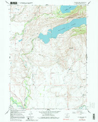
Other maps of this area

1955 · Lander
USGS Topo · 1:250,000

1958 · Lander
USGS Topo · 1:250,000

1961 · Lander
USGS Topo · 1:250,000

1964 · Fremont Butte
USGS Topo · 1:24,000

1964 · Two Buttes Reservoir
USGS Topo · 1:24,000

1964 · Boulder Lake
USGS Topo · 1:24,000

1964 · Boulder
USGS Topo · 1:24,000
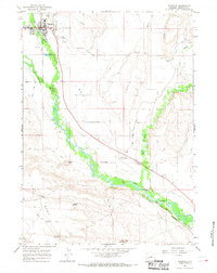
1964 · Pinedale
USGS Topo · 1:24,000

1964 · Fremont Lake South
USGS Topo · 1:24,000
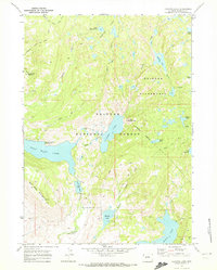
1968 · Fayette Lake
USGS Topo · 1:24,000