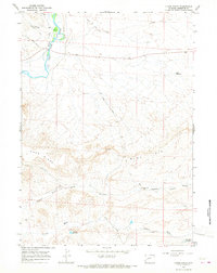
1964 Map of Olsen Ranch
USGS Topo · Published 1968About this map
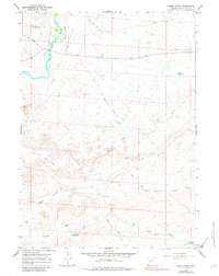
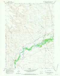
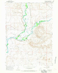
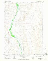
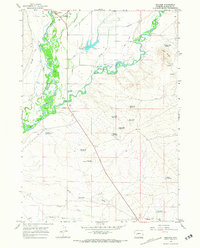
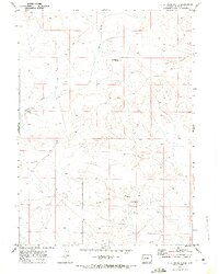
Olsen Ranch sits at the heart of this high-plateau landscape, where the working cattle economy and historic migration routes intersect. The map documents the intricate water management required for ranching in this arid Wyoming environment, featuring several small catchments like Mack Reservoir and Wild Horse Reservoir. Irrigation infrastructure such as the Butler Ditch draws from the New Fork River, which cuts through the northwestern corner of the quadrangle. Historic overland travel is clearly preserved here, with the Emigrant Trail and the Paradise Emigrant Trail crossing the northern terrain. These historic paths are joined by mid-century infrastructure like the Burma Road and the Blue Rim Drift Fence, which follows the contours of the Blue Rim and Ross Ridge to manage livestock movement across the open range.
Find a feature on this map
19 named features on this map. Tap any name to fly to it.
Don’t see what you’re looking for? This feature index may not catch every label — zoom into the map to look around manually.
Map Details
Editions of this 1964 Olsen Ranch Map
2 editions found
Other maps of this area

1955 · Lander
USGS Topo · 1:250,000

1958 · Lander
USGS Topo · 1:250,000

1961 · Lander
USGS Topo · 1:250,000
1964 · Two Buttes Reservoir
USGS Topo · 1:24,000
1964 · Ross Butte
USGS Topo · 1:24,000
1964 · Mesa Spring
USGS Topo · 1:24,000
1964 · Boulder
USGS Topo · 1:24,000
1969 · Sugar Loaf NW
USGS Topo · 1:24,000
1969 · Sugar Loaf NE
USGS Topo · 1:24,000
1969 · Stud Horse Butte
USGS Topo · 1:24,000