1969 Map of Stud Horse Butte
USGS Topo · Published 1973About this map
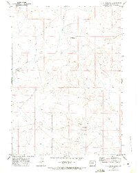
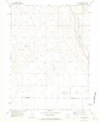
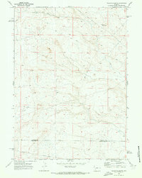
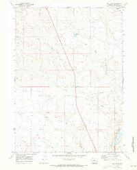
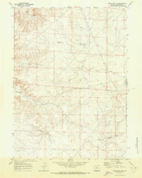
Stud Horse Butte rises as a prominent landmark in this high-desert landscape of Sublette County, mapped shortly after aerial photography was completed in 1968. The terrain is defined by a network of drainage features like Sand Draw and Bull Draw, which carve through the arid plateaus. In the southern portion of the quadrangle, Jonah Gulch leads toward the Jonah Reservoir, a vital water resource in this dry livestock and ranching region. A prominent geological feature, Yellow Point Ridge, runs through the southwestern sector, providing a stark topographical boundary. Evidence of early land use and utility is visible in the network of Jeep Trails and a lonely Well, indicating the area's history as open range and an emerging site for resource exploration during the late 1960s.
Find a feature on this map
10 named features on this map. Tap any name to fly to it.
Don’t see what you’re looking for? This feature index may not catch every label — zoom into the map to look around manually.
Map Details
Editions of this 1969 Stud Horse Butte Map
This is the sole edition of this map. No revisions or reprints were ever made.
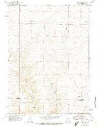
Other maps of this area

1955 · Lander
USGS Topo · 1:250,000

1958 · Lander
USGS Topo · 1:250,000

1961 · Lander
USGS Topo · 1:250,000
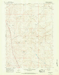
1964 · Square Top
USGS Topo · 1:24,000
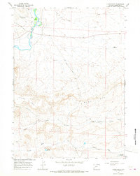
1964 · Olsen Ranch
USGS Topo · 1:24,000
1969 · Sugar Loaf
USGS Topo · 1:24,000
1969 · Juel Spring
USGS Topo · 1:24,000
1969 · Teakettle Butte
USGS Topo · 1:24,000
1969 · Bull Draw
USGS Topo · 1:24,000
1969 · Sugar Loaf NE
USGS Topo · 1:24,000