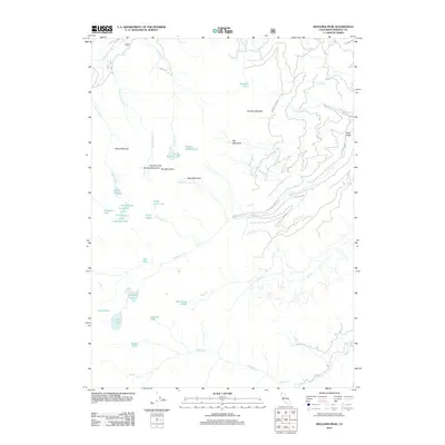
2012 Map of Boulder Peak
USGS Topo · Published 2012About this map
Boulder Peak and the surrounding Marble Mountains define this high-elevation landscape in Siskiyou County, where water resources dominate the terrain. A dense network of alpine lakes, including Upper Wright Lake, Lower Wright Lake, and the tucked-away Wolverine Lake, are fed by numerous seasonal drainages like Shackleford Cr and Mill Cr. This 2012 survey illustrates a wilderness area structured by elevation and moisture, with features like Sniktaw Meadow and Big Meadows providing clearings within the timbered slopes. The presence of Mill Creek Ponds and larger bodies like Isinglass Lake suggest a complex hydrology that supports the local ecosystem. Primitive access routes such as Forest Rte 43N23 and Smokey Ln provide the only human-engineered entries into this backcountry, emphasizing the area's role as a protected natural watershed near Red Mountain.
Find a feature on this map
44 named features on this map. Tap any name to fly to it.
Don’t see what you’re looking for? This feature index may not catch every label — zoom into the map to look around manually.
Map Details
Editions of this 2012 Boulder Peak Map
This is the sole edition of this map. No revisions or reprints were ever made.
Other maps of this area

1886 · Shasta
USGS Topo · 1:250,000

1894 · Shasta
USGS Topo · 1:250,000

1914 · Seiad
USGS Topo · 1:125,000

1922 · Seiad
USGS Topo · 1:125,000

1923 · Sawyers Bar
USGS Topo · 1:125,000

1931 · Etna
USGS Topo · 1:96,000

1932 · Yreka
USGS Topo · 1:96,000

1934 · Etna
USGS Topo · 1:125,000

1939 · Yreka
USGS Topo · 1:125,000

1948 · Weed
USGS Topo · 1:250,000