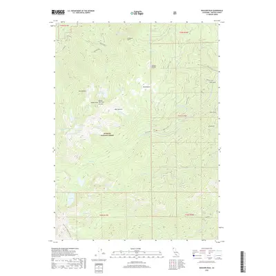
2018 Map of Boulder Peak
USGS Topo · Published 2018About this map
The Marble Mountains dominate this high-elevation landscape within the Klamath National Forest. At the center of the survey, Boulder Peak and Red Mtn rise above a series of alpine basins that hold Upper Wright Lake, Lower Wright Lake, and the smaller Deep Lake. The terrain is characterized by steep glacial cirques and expansive high-country clearings such as Big Meadows, Muse Meadow, and Sniktaw Meadow.
Find a feature on this map
56 named features on this map. Tap any name to fly to it.
Don’t see what you’re looking for? This feature index may not catch every label — zoom into the map to look around manually.
Map Details
Editions of this 2018 Boulder Peak Map
This is the sole edition of this map. No revisions or reprints were ever made.
Other maps of this area

1886 · Shasta
USGS Topo · 1:250,000

1894 · Shasta
USGS Topo · 1:250,000

1914 · Seiad
USGS Topo · 1:125,000

1922 · Seiad
USGS Topo · 1:125,000

1923 · Sawyers Bar
USGS Topo · 1:125,000

1931 · Etna
USGS Topo · 1:96,000

1932 · Yreka
USGS Topo · 1:96,000

1934 · Etna
USGS Topo · 1:125,000

1939 · Yreka
USGS Topo · 1:125,000

1948 · Weed
USGS Topo · 1:250,000