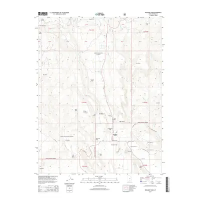
2014 Map of Boulder Town
USGS Topo · Published 2014About this map
Boulder Town serves as the central hub of this Garfield County landscape, where the high desert plateau meets the southwestern edge of the Dixie National Forest. The geography is defined by dramatic elevation shifts and named escarpments such as Schoolhouse Ledge and Thompson Ledge, overlooking the winding path of Boulder Creek. Local history is anchored by the Boulder Cem and the settlement at New Home Bench, showing the persistent footprint of ranching and remote mountain living.
Find a feature on this map
49 named features on this map. Tap any name to fly to it.
Don’t see what you’re looking for? This feature index may not catch every label — zoom into the map to look around manually.
Map Details
Editions of this 2014 Boulder Town Map
This is the sole edition of this map. No revisions or reprints were ever made.
Other maps of this area

1885 · Fish Lake
USGS Topo · 1:250,000

1886 · Escalante
USGS Topo · 1:250,000

1896 · Fish Lake
USGS Topo · 1:250,000

1952 · Notom 3 SW
USGS Topo · 1:24,000

1952 · Notom 3 SE
USGS Topo · 1:24,000

1952 · Grover
USGS Topo · 1:62,500

1953 · Circle Cliffs 2 NE
USGS Topo · 1:24,000

1956 · Escalante
USGS Topo · 1:250,000

1956 · Salina
USGS Topo · 1:250,000

1960 · Escalante
USGS Topo · 1:250,000