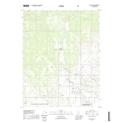
2020 Map of Boulder Town
USGS Topo · Published 2020About this map
Boulder Town and Boulder sit at a geological crossroads in Garfield County, where the high timber of the Dixie National Forest meets the canyon country of the Grand Staircase-Escalante National Monument. The settlement pattern follows the life-giving waters of Boulder Creek, which is fed by Bear Creek and Deer Creek. This late-period survey illustrates the complex infrastructure required to navigate this terrain, including the famous Burr Trail Road and South Lower Boulder Road. Local landmarks like Balancing Rock, Schoolhouse Ledge, and Sadies Nipple provide navigational anchors across the varied benches and mesas. The presence of the Tailrace Canal and Boulder Cemetery offers evidence of the town's agricultural and social foundations, while numerous family-named landmarks like Durffey Mesa and Thompson Ledge highlight the generational connection to this landscape.
Find a feature on this map
52 named features on this map. Tap any name to fly to it.
Don’t see what you’re looking for? This feature index may not catch every label — zoom into the map to look around manually.
Map Details
Editions of this 2020 Boulder Town Map
This is the sole edition of this map. No revisions or reprints were ever made.
Other maps of this area

1885 · Fish Lake
USGS Topo · 1:250,000

1886 · Escalante
USGS Topo · 1:250,000

1896 · Fish Lake
USGS Topo · 1:250,000

1952 · Notom 3 SW
USGS Topo · 1:24,000

1952 · Notom 3 SE
USGS Topo · 1:24,000

1952 · Grover
USGS Topo · 1:62,500

1953 · Circle Cliffs 2 NE
USGS Topo · 1:24,000

1956 · Escalante
USGS Topo · 1:250,000

1956 · Salina
USGS Topo · 1:250,000

1960 · Escalante
USGS Topo · 1:250,000