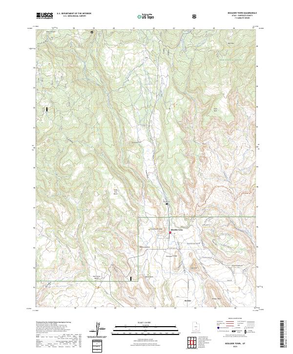
2023 Map of Boulder Town
USGS Topo · Published 2023About this map
Boulder Town and the settlement of Boulder occupy a high-elevation plateau defined by dramatic benches and mesas within the Dixie National Forest. The landscape is etched by a complex drainage system including Boulder Creek, Nazee Draw, and Baker Wash, revealing the geological layering of the region. Distinctive landmarks like Balancing Rock, Sugarloaf, and Durffey Mesa rise above the township, while Schoolhouse Ledge and Thompson Ledge provide vertical relief near the residential core. The presence of the Tailrace Canal suggests a legacy of water management and utility development in this arid environment. Genealogical interest is centered on the Boulder Cem, while the local road network, including the Burr Trl Rd and Black Boulder Mesa Rd, illustrates the connectivity between these remote high-desert outposts and the surrounding wilderness areas.
Find a feature on this map
47 named features on this map. Tap any name to fly to it.
Don’t see what you’re looking for? This feature index may not catch every label — zoom into the map to look around manually.
Map Details
Editions of this 2023 Boulder Town Map
This is the sole edition of this map. No revisions or reprints were ever made.
Other maps of this area

1885 · Fish Lake
USGS Topo · 1:250,000

1886 · Escalante
USGS Topo · 1:250,000

1896 · Fish Lake
USGS Topo · 1:250,000

1952 · Notom 3 SW
USGS Topo · 1:24,000

1952 · Notom 3 SE
USGS Topo · 1:24,000

1952 · Grover
USGS Topo · 1:62,500

1953 · Circle Cliffs 2 NE
USGS Topo · 1:24,000

1956 · Escalante
USGS Topo · 1:250,000

1956 · Salina
USGS Topo · 1:250,000

1960 · Escalante
USGS Topo · 1:250,000