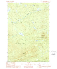
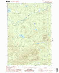
1989 Map of Boundary Bald Mountain
USGS Topo · Published 1989About this map
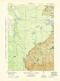
Boundary Bald Mountain dominates the southern landscape of this 1980s topographic record, marking a significant high point near the international border. The survey area is defined by the headwaters and drainage of the South Branch Penobscot River, which flows through the unorganized townships of Prentiss, Hammond, and Bald Mountain. This remote Somerset County terrain is characterized by a dense network of glacial water bodies, including Jones Pond, Little Fish Pond, and the evocatively named Wounded Deer Pond.
Find a feature on this map
21 named features on this map. Tap any name to fly to it.
Don’t see what you’re looking for? This feature index may not catch every label — zoom into the map to look around manually.
Map Details
Editions of this 1989 Boundary Bald Mountain Map
2 editions found
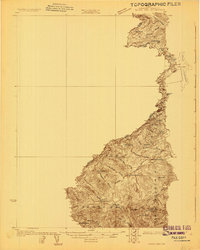
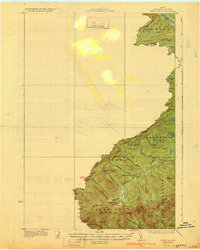
Other maps of this area

1922 · Long Pond
USGS Topo · 1:62,500

1923 · Attean
USGS Topo · 1:62,500

1924 · Long Pond
USGS Topo · 1:62,500

1925 · Attean
USGS Topo · 1:62,500
1927 · Sandy Bay
USGS Topo · 1:48,000
1930 · Sandy Bay
USGS Topo · 1:62,500

1944 · Long Pond
USGS Topo · 1:62,500
1944 · Sandy Bay
USGS Topo · 1:62,500

1949 · Jackman
USGS Topo · 1:250,000

1950 · Attean
USGS Topo · 1:50,000
Featured Places
- Moose River, ME
- Bald Mountain Township T4 R3, ME
- Alder Brook Township, ME
- Hammond Township, ME
- Thorndike Township, ME