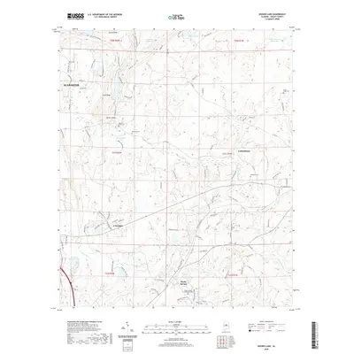
2020 Map of Bounds Lake
USGS Topo · Published 2020About this map
Shelby Springs serves as a historic focal point in this portion of Shelby County, noted particularly for the Shelby Springs Confederate Cem located south of the main settlement area. The landscape transitions from the residential expansions of Alabaster and Calera in the west toward the more rural surroundings of Columbiana to the east. Water features are numerous throughout the quadrangle, including the sprawling Kimberly- Clark Lake and several family-named or purpose-named bodies such as Four Wing Lake and Nazarene Church Lake. Ridge systems like Stony Ridge and Locust Ridge define the local topography, while numerous small cemeteries such as Old Lynch Cem and Blackmon Cem provide essential data points for genealogical research in this rapidly developing region of central Alabama.
Find a feature on this map
109 named features on this map. Tap any name to fly to it.
Don’t see what you’re looking for? This feature index may not catch every label — zoom into the map to look around manually.
Map Details
Editions of this 2020 Bounds Lake Map
This is the sole edition of this map. No revisions or reprints were ever made.
Other maps of this area

1890 · Bessemer
USGS Topo · 1:125,000

1892 · Bessemer
USGS Topo · 1:125,000

1905 · Bessemer Iron District
USGS Topo · 1:62,500

1906 · Vandiver
USGS Topo · 1:62,500

1907 · Bessemer Special
USGS Topo · 1:62,500

1908 · Vandiver
USGS Topo · 1:62,500

1909 · Columbiana
USGS Topo · 1:62,500

1910 · Montevallo
USGS Topo · 1:62,500

1911 · Columbiana
USGS Topo · 1:62,500

1953 · Birmingham
USGS Topo · 1:250,000