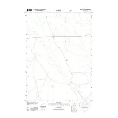
2012 Map of Bouquet Table
USGS Topo · Published 2012About this map
Bouquet Table stands as a prominent landform in this southern South Dakota landscape, overlooking a complex drainage system defined by the White River and its tributaries. The hydrologic character of the area is further shaped by Cain Cr and Clifford Cr, which wind through the plains toward the river. Human influence on the water table is evident at the Sage Creek 344 Reservoir, a significant water feature that anchors the northern section of the map. Connectivity across this prairie terrain is maintained by a modest network of local routes, most notably Bouquet Table Rd and 185th Ave. The map illustrates a largely open landscape where agricultural or grazing potential is dictated by the availability of water from the creek basins and the proximity to the river corridor.
Find a feature on this map
7 named features on this map. Tap any name to fly to it.
Don’t see what you’re looking for? This feature index may not catch every label — zoom into the map to look around manually.
Map Details
Editions of this 2012 Bouquet Table Map
This is the sole edition of this map. No revisions or reprints were ever made.
Other maps of this area

1950 · Conata
USGS Topo · 1:24,000

1950 · Conata SW
USGS Topo · 1:24,000

1950 · Imlay SW
USGS Topo · 1:24,000

1950 · Imlay
USGS Topo · 1:24,000

1950 · Imlay SE
USGS Topo · 1:24,000

1950 · Bouquet Table
USGS Topo · 1:24,000

1952 · Bouquet Table
USGS Topo · 1:24,000

1952 · Conata
USGS Topo · 1:24,000

1955 · Hot Springs
USGS Topo · 1:250,000

1960 · Quinn Table SE
USGS Topo · 1:24,000