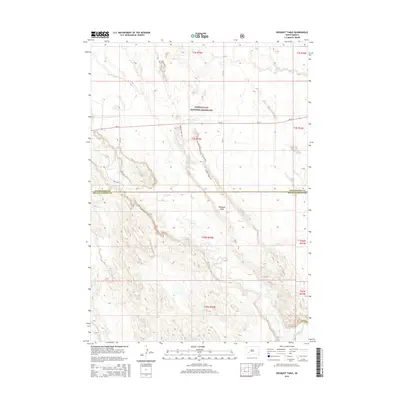
2015 Map of Bouquet Table
USGS Topo · Published 2015About this map
Buffalo Gap National Grassland dominates the northern half of this landscape, where the prairie meets the intricate drainage systems of the White River valley. The terrain is defined by the prominent Bouquet Table, a high plateau that stands above the complex network of ravines and creek beds. Water management in this arid environment is visible at the Sage Creek Reservoir, situated just north of the state highway.
Find a feature on this map
18 named features on this map. Tap any name to fly to it.
Don’t see what you’re looking for? This feature index may not catch every label — zoom into the map to look around manually.
Map Details
Editions of this 2015 Bouquet Table Map
This is the sole edition of this map. No revisions or reprints were ever made.
Other maps of this area

1950 · Conata
USGS Topo · 1:24,000

1950 · Conata SW
USGS Topo · 1:24,000

1950 · Imlay SW
USGS Topo · 1:24,000

1950 · Imlay
USGS Topo · 1:24,000

1950 · Imlay SE
USGS Topo · 1:24,000

1950 · Bouquet Table
USGS Topo · 1:24,000

1952 · Bouquet Table
USGS Topo · 1:24,000

1952 · Conata
USGS Topo · 1:24,000

1955 · Hot Springs
USGS Topo · 1:250,000

1960 · Quinn Table SE
USGS Topo · 1:24,000