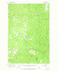
1961 Map of Bovill
USGS Topo · Published 1968About this map
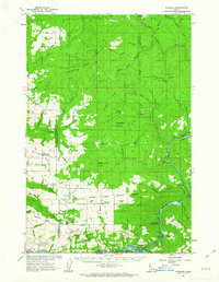
Bovill and Helmer serve as the primary hubs for this mountain landscape where the St Joe National Forest meets active industrial sites. Grounded in a 1961 field check, the survey reveals a complex network of resource extraction and transportation, particularly evident in the cluster of Claypits and Settling Tanks just south of Bovill. The Milwaukee Chicago Milwaukee St Paul and Pacific railroad traces a winding path through the rugged terrain, following the Potlatch River and its various forks. High-elevation points like Sherwin Point and Abes Knob overlook a terrain characterized by numerous named meadows, including Cougar Meadows and Hog Meadow, while the Silver King Mine suggests the deeper mineral history of the region. This document preserves the mid-century layout of these timber and mining communities before further modernization altered the local rail and industrial footprints.
Find a feature on this map
86 named features on this map. Tap any name to fly to it.
Don’t see what you’re looking for? This feature index may not catch every label — zoom into the map to look around manually.
Map Details
Editions of this 1961 Bovill Map
2 editions found
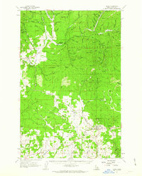
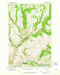
Other maps of this area

1955 · Pullman
USGS Topo · 1:250,000

1955 · Spokane
USGS Topo · 1:250,000
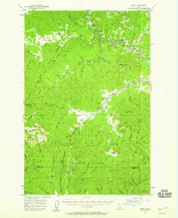
1957 · Emida
USGS Topo · 1:62,500

1958 · Spokane
USGS Topo · 1:250,000

1958 · Pullman
USGS Topo · 1:250,000
1961 · Deary
USGS Topo · 1:62,500
1961 · Kendrick
USGS Topo · 1:62,500
1961 · Ahsahka
USGS Topo · 1:62,500
1961 · Fernwood
USGS Topo · 1:62,500
1961 · Bovill
USGS Topo · 1:62,500