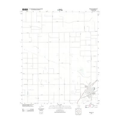
2012 Map of Bovina
USGS Topo · Published 2012About this map
The grid-iron settlement of Bovina anchors the southeastern corner of this Parmer County landscape, positioned along the industrial corridor of Railroad Rd. The town's street plan, featuring family and descriptive names like Halsell St, Brock St, and W Ridgelea Dr, reflects a late-twentieth-century residential expansion typical of the Texas Panhandle. Beyond the town limits, the terrain is defined by a vast network of county roads, such as Co Road J and Co Road L, which organize the agricultural surroundings into massive rectangular tracts.
Find a feature on this map
40 named features on this map. Tap any name to fly to it.
Don’t see what you’re looking for? This feature index may not catch every label — zoom into the map to look around manually.
Map Details
Editions of this 2012 Bovina Map
This is the sole edition of this map. No revisions or reprints were ever made.
Other maps of this area

1954 · Clovis
USGS Topo · 1:250,000

1957 · Clovis
USGS Topo · 1:62,500

1957 · Pleasant Hill
USGS Topo · 1:62,500

1958 · Clovis
USGS Topo · 1:250,000

1963 · Oklahoma Lane
USGS Topo · 1:24,000

1963 · Lariat NE
USGS Topo · 1:24,000

1965 · Bovina
USGS Topo · 1:24,000

1965 · Parmerton
USGS Topo · 1:24,000

1965 · Twin Lakes
USGS Topo · 1:24,000

1965 · Rhea
USGS Topo · 1:24,000