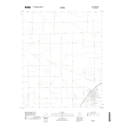
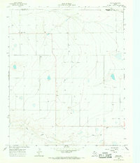
2019 Map of Bovina
USGS Topo · Published 2019About this map
Bovina anchors the southeastern corner of this High Plains landscape, situated at the junction of several regional routes including FM 1731 and FM 2290. The town's grid is clearly defined by residential streets such as Halsell St and Boyce St, centered around Gardner Ave. Just outside the primary settlement lies the Bovina Cem, providing a focal point for genealogical research in Parmer County.
Find a feature on this map
39 named features on this map. Tap any name to fly to it.
Don’t see what you’re looking for? This feature index may not catch every label — zoom into the map to look around manually.
Map Details
Editions of this 2019 Bovina Map
This is the sole edition of this map. No revisions or reprints were ever made.
Other maps of this area

1954 · Clovis
USGS Topo · 1:250,000
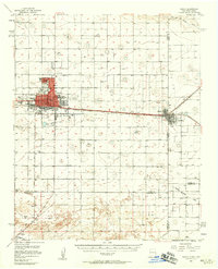
1957 · Clovis
USGS Topo · 1:62,500
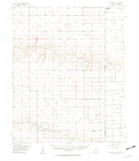
1957 · Pleasant Hill
USGS Topo · 1:62,500

1958 · Clovis
USGS Topo · 1:250,000
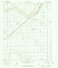
1963 · Oklahoma Lane
USGS Topo · 1:24,000
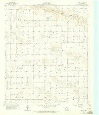
1963 · Lariat NE
USGS Topo · 1:24,000
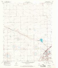
1965 · Bovina
USGS Topo · 1:24,000
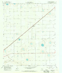
1965 · Parmerton
USGS Topo · 1:24,000
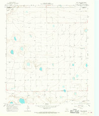
1965 · Twin Lakes
USGS Topo · 1:24,000
1965 · Rhea
USGS Topo · 1:24,000