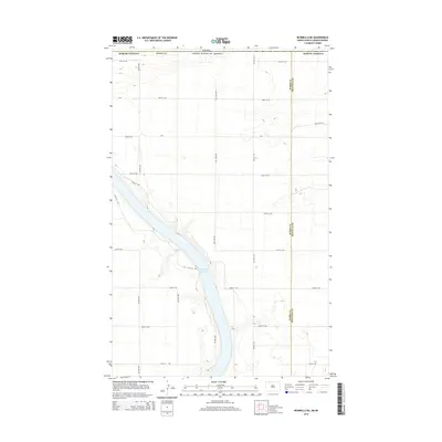
2014 Map of Bowbells NE
USGS Topo · Published 2014About this map
Upper Des Lacs Lake dominates the southern half of this landscape, carving a deep valley through the northern plains. This 2014 survey documents a sparsely populated borderland where the international boundary between Canada and the United States meets the dividing line of Burke and Renville counties. The terrain is defined by a rigid section-line road network, including arterial routes like Cr-2 and 101st St NW, which facilitate movement across the agricultural plateaus overlooking the lake valley. The survey provides a clear view of the rural infrastructure at the edge of North Dakota, capturing the relationship between the natural waterway and the engineered grid of the high plains just before the mid-2010s.
Find a feature on this map
20 named features on this map. Tap any name to fly to it.
Don’t see what you’re looking for? This feature index may not catch every label — zoom into the map to look around manually.
Map Details
Editions of this 2014 Bowbells NE Map
This is the sole edition of this map. No revisions or reprints were ever made.
Other maps of this area
1947 · Bowbells NW
USGS Topo · 1:24,000
1947 · Bowbells
USGS Topo · 1:24,000
1948 · Mouse River Park NW
USGS Topo · 1:24,000
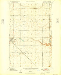
1949 · Bowbells
USGS Topo · 1:24,000
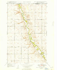
1949 · Mouse River Park NW
USGS Topo · 1:24,000
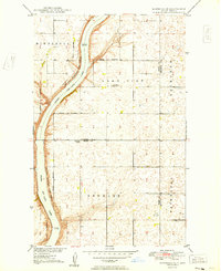
1949 · Bowbells SE
USGS Topo · 1:24,000
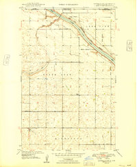
1949 · Bowbells NW
USGS Topo · 1:24,000
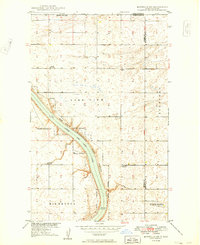
1949 · Bowbells NE
USGS Topo · 1:24,000
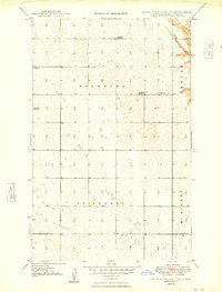
1949 · Mouse River Park SW
USGS Topo · 1:24,000
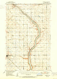
1950 · Bowbells
USGS Topo · 1:62,500