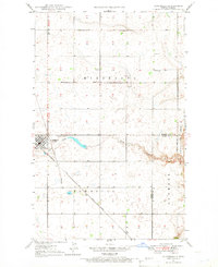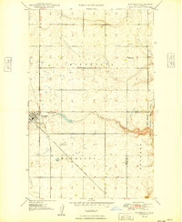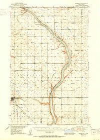
1950 Map of Bowbells
USGS Topo · Published 1950About this map
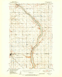
Bowbells serves as the regional hub for this northwestern North Dakota landscape, situated at the intersection of the Great Northern and the Minneapolis St Paul and Sault Ste Marie railroads. The topography is dominated by the narrow, winding valley of the Des Lacs River and Upper Des Lacs Lake, which are protected within the Upper Des Lacs National Wildlife Refuge. The map reveals a dense network of early 20th-century rural infrastructure, including numerous one-room schoolhouses like Lakeside Sch and North Star Sch No 4. The presence of the CCC Dam on Stony Creek and the designated landmarks such as Nine Mile Corner and various Windmills illustrate the managed water resources and navigational points essential to the agricultural townships of North Star, Minnesota, and Denmark.
Find a feature on this map
27 named features on this map. Tap any name to fly to it.
Don’t see what you’re looking for? This feature index may not catch every label — zoom into the map to look around manually.
Map Details
Editions of this 1950 Bowbells Map
2 editions found
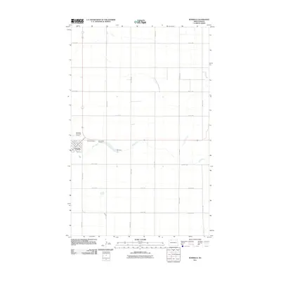
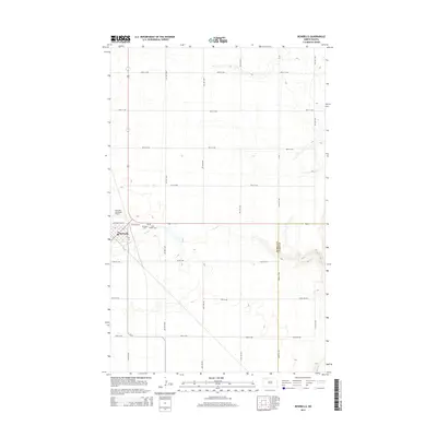
Historical Maps of Bowbells Through Time
8 maps found