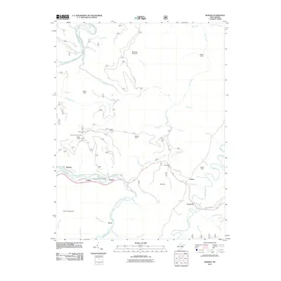
2011 Map of Bowden
USGS Topo · Published 2011About this map
Shavers Fork and Glady Fork define the drainage patterns of this high-elevation landscape, where small mountain settlements like Bowden, Faulkner, and Alpena follow the narrow valley corridors. The 2011 survey highlights several distinctive high-point landmarks, most notably the Bickle Knob Lookout Tower and the adjacent Bickle Knob Picnic Area, which offer vantage points over the surrounding ridges.
Find a feature on this map
57 named features on this map. Tap any name to fly to it.
Don’t see what you’re looking for? This feature index may not catch every label — zoom into the map to look around manually.
Map Details
Editions of this 2011 Bowden Map
This is the sole edition of this map. No revisions or reprints were ever made.
Other maps of this area

1886 · St. George
USGS Topo · 1:125,000

1889 · Beverly
USGS Topo · 1:125,000

1891 · St. George
USGS Topo · 1:125,000

1892 · Beverly
USGS Topo · 1:125,000

1907 · Belington
USGS Topo · 1:62,500

1908 · Parsons
USGS Topo · 1:62,500

1909 · Elkins
USGS Topo · 1:62,500

1922 · Horton
USGS Topo · 1:48,000

1924 · Horton
USGS Topo · 1:62,500

1926 · Parsons
USGS Topo · 1:62,500