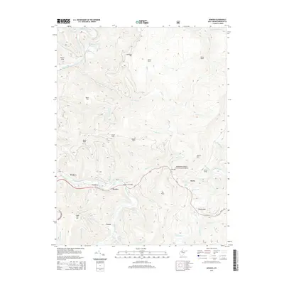
2014 Map of Bowden
USGS Topo · Published 2014About this map
Shavers Fork flows through the heart of this Randolph County landscape, creating a central corridor for the settlements of Bowden and Faulkner. The terrain is defined by the high ridges of McGowan Mtn and Shavers Mtn, which frame the deep drainages of Taylor Run and Little Black Fork. Within the Monongahela National Forest, several localized landmarks offer unique points for researchers, including family-named water sources like Ernest Carr Spring, Lorraine Burke Spring, and Mark Burke Spring. The presence of the Shavers Fork Bridge at Bowden highlights the traditional crossing points that have long connected these valley communities. To the east, the village of Alpena sits near Low Gap, marking a transition toward the higher elevations of Hertig Knob and Big Knob.
Find a feature on this map
59 named features on this map. Tap any name to fly to it.
Don’t see what you’re looking for? This feature index may not catch every label — zoom into the map to look around manually.
Map Details
Editions of this 2014 Bowden Map
This is the sole edition of this map. No revisions or reprints were ever made.
Other maps of this area

1886 · St. George
USGS Topo · 1:125,000

1889 · Beverly
USGS Topo · 1:125,000

1891 · St. George
USGS Topo · 1:125,000

1892 · Beverly
USGS Topo · 1:125,000

1907 · Belington
USGS Topo · 1:62,500

1908 · Parsons
USGS Topo · 1:62,500

1909 · Elkins
USGS Topo · 1:62,500

1922 · Horton
USGS Topo · 1:48,000

1924 · Horton
USGS Topo · 1:62,500

1926 · Parsons
USGS Topo · 1:62,500