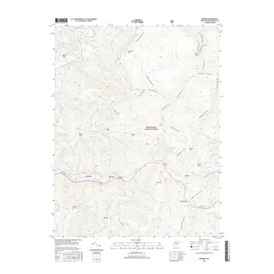
2016 Map of Bowden
USGS Topo · Published 2016About this map
Shavers Fork cuts a winding path through the heart of the Monongahela National Forest, anchoring a landscape defined by sharp ridges and deep runs. Small settlements like Bowden, Faulkner, and Evenwood follow the low ground along the river and its tributaries, connected by the local road network that includes the Shavers Fork Bridge. The terrain is punctuated by high points such as Bickle Knob and Stuart Knob, while the eastern portion of the map is dominated by the long ridge of Shavers Mtn.
Find a feature on this map
64 named features on this map. Tap any name to fly to it.
Don’t see what you’re looking for? This feature index may not catch every label — zoom into the map to look around manually.
Map Details
Editions of this 2016 Bowden Map
This is the sole edition of this map. No revisions or reprints were ever made.
Other maps of this area

1886 · St. George
USGS Topo · 1:125,000

1889 · Beverly
USGS Topo · 1:125,000

1891 · St. George
USGS Topo · 1:125,000

1892 · Beverly
USGS Topo · 1:125,000

1907 · Belington
USGS Topo · 1:62,500

1908 · Parsons
USGS Topo · 1:62,500

1909 · Elkins
USGS Topo · 1:62,500

1922 · Horton
USGS Topo · 1:48,000

1924 · Horton
USGS Topo · 1:62,500

1926 · Parsons
USGS Topo · 1:62,500