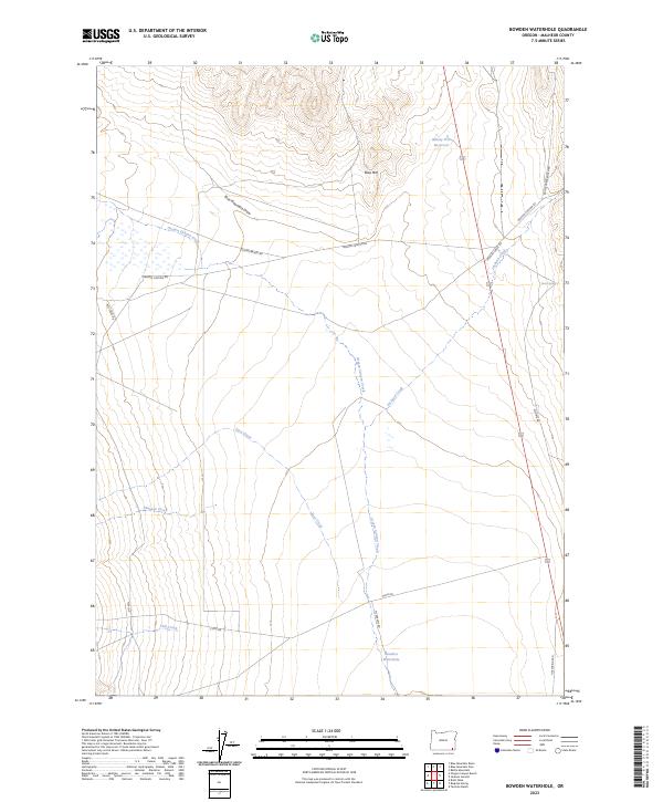
2023 Map of Bowden Waterhole
USGS Topo · Published 2023About this map
Bowden Waterhole serves as a vital landmark in this high-desert stretch of Malheur County, where water sources dictate the movement of people and livestock. The map documents an intricate network of ranch roads and drainage systems, including Ninety Five Reservoir and the headwaters of Oregon Canyon Creek. Named ranch roads such as Echave Ranch Rd and Battle Creek Ranch Rd suggest the enduring importance of cattle ranching in this southeastern Oregon landscape. The topography transitions from the heights of Blue Mtn and the distinctively level Flat Top down into Blue Mountain Draw, illustrating the rugged catchment area for local seasonal flows. This recent survey captures the contemporary state of the range, including crossings over Jackson Creek and Jaca Creek before they merge or vanish into the desert floor.
Find a feature on this map
25 named features on this map. Tap any name to fly to it.
Don’t see what you’re looking for? This feature index may not catch every label — zoom into the map to look around manually.
Map Details
Editions of this 2023 Bowden Waterhole Map
This is the sole edition of this map. No revisions or reprints were ever made.
Other maps of this area

1955 · Jordan Valley
USGS Topo · 1:250,000

1957 · Jordan Valley
USGS Topo · 1:250,000

1958 · Jordan Valley
USGS Topo · 1:250,000

1982 · Battle Mtn
USGS Topo · 1:24,000
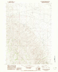
1982 · Oregon Canyon Ranch
USGS Topo · 1:24,000
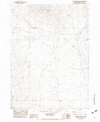
1982 · Bowden Waterhole
USGS Topo · 1:24,000
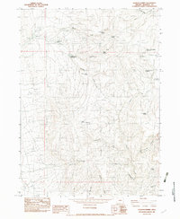
1982 · Jackson Summit
USGS Topo · 1:24,000
1982 · Tenmile Ranch
USGS Topo · 1:24,000
1982 · Boghole Spring
USGS Topo · 1:24,000
1982 · Blue Mountain Pass
USGS Topo · 1:24,000