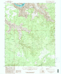
1987 Map of Bowdie Canyon East
USGS Topo · Published 1987About this map
The Colorado River carves through the deep gorge of Cataract Canyon at the northern edge of this 1980s topographic study. This section of the canyon marks the transition where the river meets the upper reaches of Lake Powell, forming the heart of the Glen Canyon National Recreation Area. The landscape is defined by massive mesas and plateaus, including Bowdie Point, Middle Point, and North Point, which overlook a network of tributary drainages like Gypsum Canyon and Lean-To Canyon.
Find a feature on this map
18 named features on this map. Tap any name to fly to it.
Don’t see what you’re looking for? This feature index may not catch every label — zoom into the map to look around manually.
Map Details
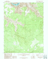
Editions of this 1987 Bowdie Canyon East Map
2 editions found
Other maps of this area

1885 · San Rafael
USGS Topo · 1:250,000

1885 · La Sal
USGS Topo · 1:250,000

1886 · Henry Mountains
USGS Topo · 1:250,000

1886 · Abajo
USGS Topo · 1:250,000

1892 · Abajo
USGS Topo · 1:250,000

1892 · Henry Mountains
USGS Topo · 1:250,000

1893 · Abajo
USGS Topo · 1:250,000

1935 · Elk Ridge
USGS Topo · 1:96,000

1940 · Elk Ridge
USGS Topo · 1:125,000

1952 · Mouth of Dark Canyon
USGS Topo · 1:62,500