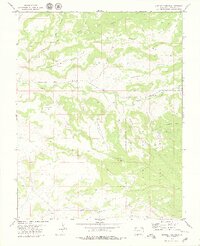
1979 Map of Bowdish Canyon
USGS Topo · Published 1979About this map
The Ute Mountain Indian Reservation occupies the eastern and southern portions of this landscape, where the high terrain of Hamilton Mesa drops toward the drainage of Mc Elmo Creek. This 1970s survey captures a network of canyons and mesas defined by livestock and early energy exploration, evidenced by various Jeep Trails and a documented Drill Hole. High points like Cannon Ball Mesa dominate the northwest, while the convergence of Hovenweep Canyon, Negro Canyon, and Yellow Jacket Canyon illustrates the complex erosion patterns that shape the Colorado high desert. The map shows a sparse industrial footprint limited to a single Gravel Pit near the creek, highlighting the rural, protected nature of the tribal lands and the open range common in the Four Corners region during this era.
Find a feature on this map
23 named features on this map. Tap any name to fly to it.
Don’t see what you’re looking for? This feature index may not catch every label — zoom into the map to look around manually.
Map Details
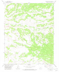
Editions of this 1979 Bowdish Canyon Map
2 editions found
Other maps of this area

1886 · Abajo
USGS Topo · 1:250,000

1892 · Abajo
USGS Topo · 1:250,000

1893 · Abajo
USGS Topo · 1:250,000

1956 · Cortez
USGS Topo · 1:250,000

1957 · Moqui NW
USGS Topo · 1:24,000

1957 · Aneth 1 NE
USGS Topo · 1:24,000

1957 · Moqui SW
USGS Topo · 1:24,000

1957 · Moqui SE
USGS Topo · 1:24,000

1958 · Sentinel Peak NW
USGS Topo · 1:24,000

1958 · Sentinel Peak NE
USGS Topo · 1:24,000