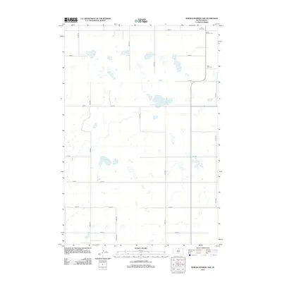
2012 Map of Bowdle-Hosmer Lake
USGS Topo · Published 2012About this map
Bowdle-Hosmer Lake and Horseshoe Lake define this prairie landscape of Campbell County, characterized by numerous glacial depressions and a sparse grid of rural section roads. This 2012 survey captures the region's agricultural layout, where isolated farmsteads are connected by routes like 324th Ave and 127th St. The preservation of local history is evident in the cluster of rural burial grounds, including Saint Joseph Cem in the northeast corner and Saint Johns Cem near the eastern boundary. Bethel Number 2 Cem further signifies the scattered community nodes that have sustained this portion of South Dakota. The map reflects a landscape where water and heritage sites are the primary landmarks across the expansive terrain.
Find a feature on this map
18 named features on this map. Tap any name to fly to it.
Don’t see what you’re looking for? This feature index may not catch every label — zoom into the map to look around manually.
Map Details
Editions of this 2012 Bowdle-Hosmer Lake Map
This is the sole edition of this map. No revisions or reprints were ever made.
Other maps of this area

1954 · Aberdeen
USGS Topo · 1:250,000

1956 · Aberdeen
USGS Topo · 1:250,000

1974 · Gretna
USGS Topo · 1:24,000

1974 · Spring Lake
USGS Topo · 1:24,000

1974 · Bowdle
USGS Topo · 1:24,000

1978 · Hillsview SE
USGS Topo · 1:24,000

1978 · Bowdle-Hosmer Lake
USGS Topo · 1:24,000

1978 · Java SE
USGS Topo · 1:24,000

1978 · Flat Lake
USGS Topo · 1:24,000

1978 · Feinstein Lake
USGS Topo · 1:24,000