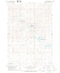
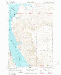
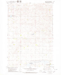
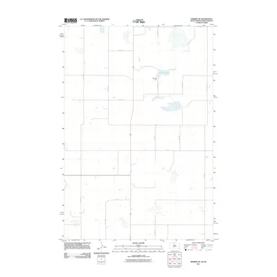
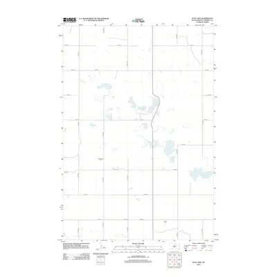
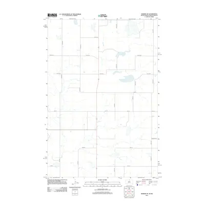
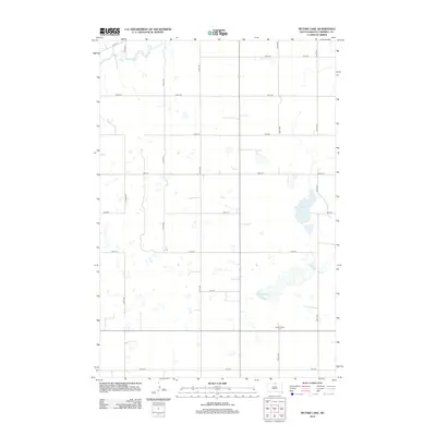
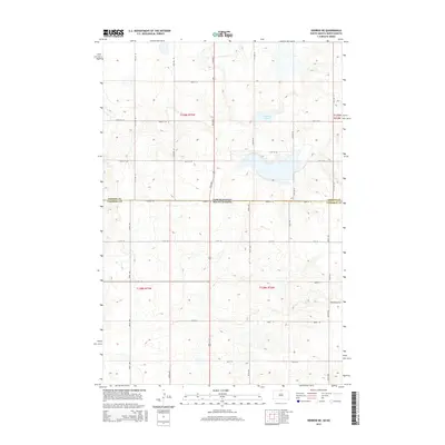
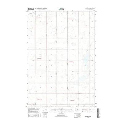
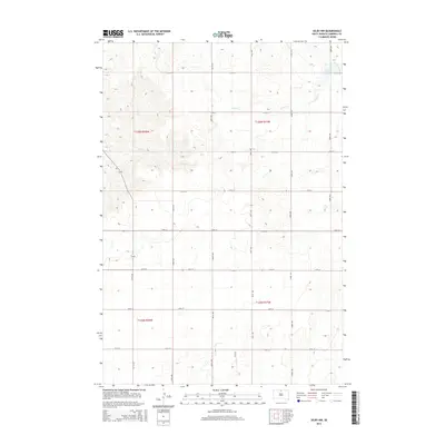
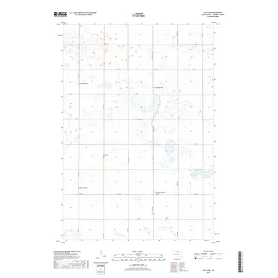
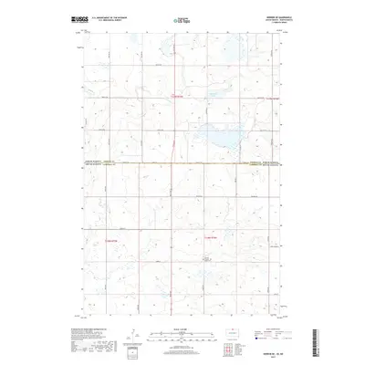
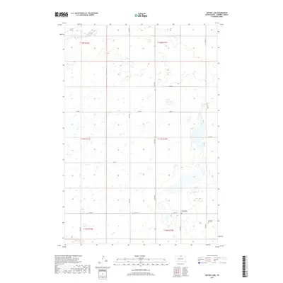
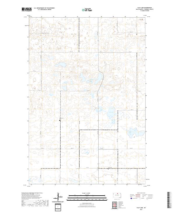
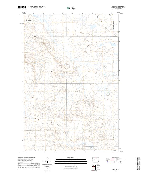
1978 Map of Flat Lake
USGS Topo · Published 1979About this map
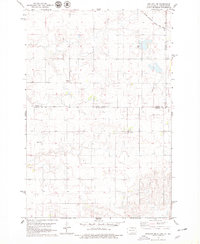
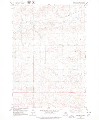
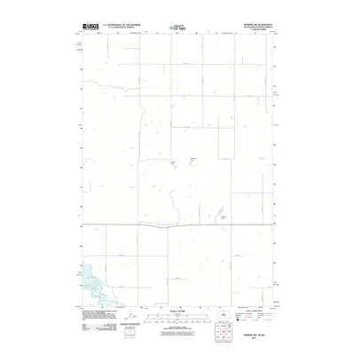
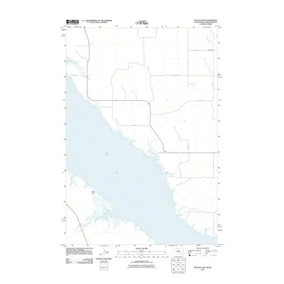
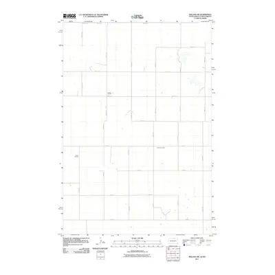
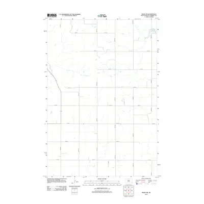
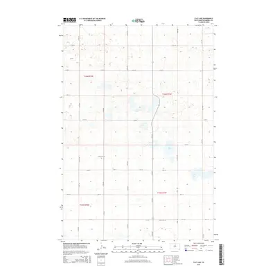
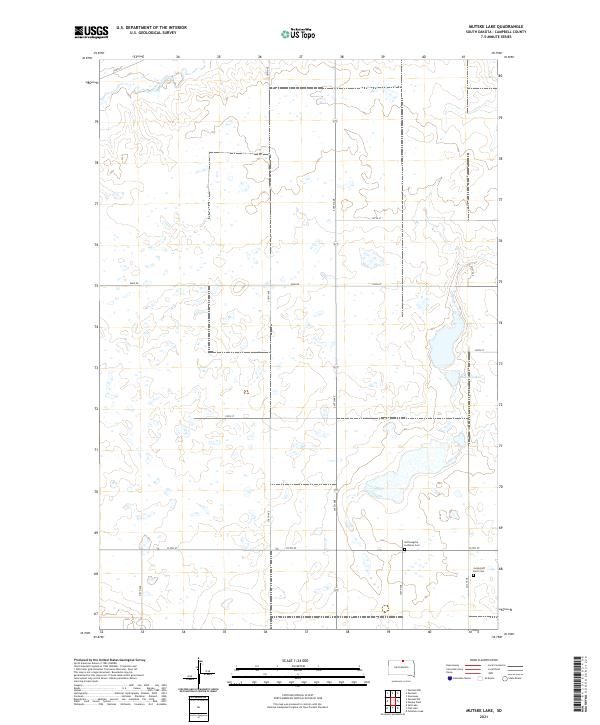
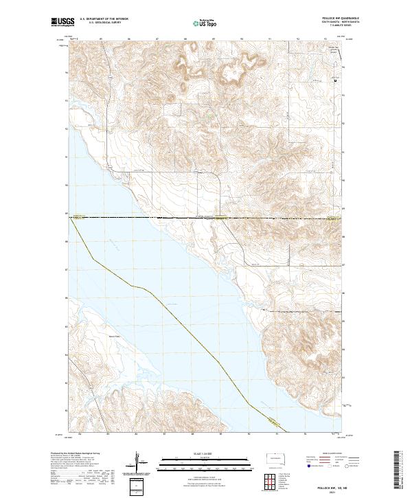
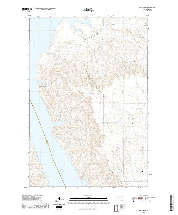
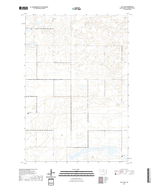
The Missouri Slope region of Campbell County is defined here by a series of glacial depressions and waterfowl management zones. Scattered throughout the section lines are the final resting places of early settlers, including Friedenstahl Cem and Sutley Cem, which serve as primary markers of the area's rural genealogy. The hydrology of the landscape is dominated by Flat Lake, East Flat Lake, and the nearby Lindemann Lakes, many of which are contained within the National Waterfowl Production Area. A notable remnant of earlier infrastructure is the Old Railroad Grade cutting diagonally through the western sections, indicating a transportation corridor that once supported the local agricultural economy. In the southwest corner, the Salt Lake State Public Shooting Area points to the continued significance of this terrain for conservation and seasonal recreation.
Find a feature on this map
10 named features on this map. Tap any name to fly to it.
Don’t see what you’re looking for? This feature index may not catch every label — zoom into the map to look around manually.
Map Details
Editions of this 1978 Flat Lake Map
This is the sole edition of this map. No revisions or reprints were ever made.
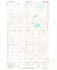
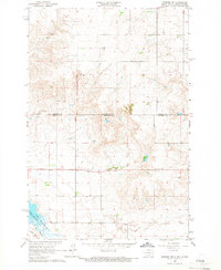
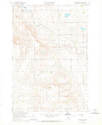
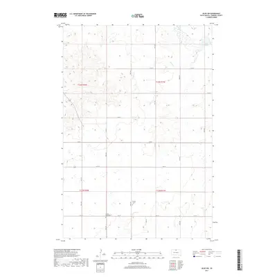
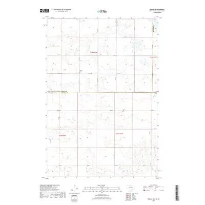
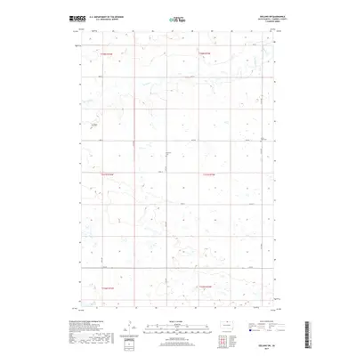
Historical Maps of Campbell County Through Time
64 maps found
1965 Herreid NE
Campbell County, SD
1965 Herreid NW
Campbell County, SD
1965 Herreid SW
Campbell County, SD
1965 Pollock SE
Campbell County, SD
1966 Pollock NW
Campbell County, SD
1967 Mobridge NE
Campbell County, SD
1967 Selby NW
Campbell County, SD
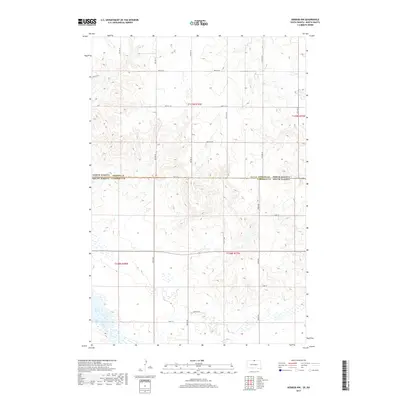
1978 Flat Lake
Campbell County, SD

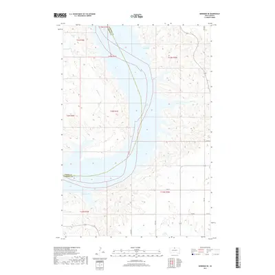
1978 Mutske Lake
Campbell County, SD
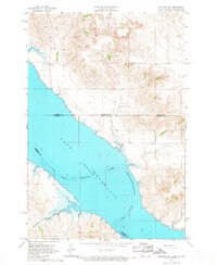
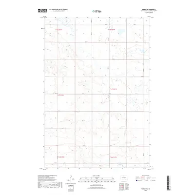
1978 Salt Lake
Campbell County, SD
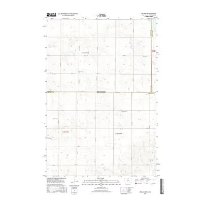
1978 Zeeland NW
Campbell County, SD
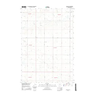
1978 Zeeland SW
Campbell County, SD
2011 Herreid NE
Campbell County, SD
2011 Herreid NW
Campbell County, SD
2011 Pollock NW
Campbell County, SD
2011 Zeeland NW
Campbell County, SD
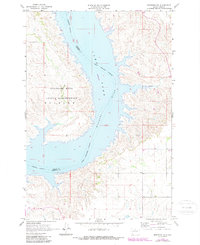
2012 Flat Lake
Campbell County, SD
2012 Herreid NE
Campbell County, SD
2012 Herreid NW
Campbell County, SD
2012 Herreid SW
Campbell County, SD
2012 Mobridge NE
Campbell County, SD
2012 Mutske Lake
Campbell County, SD
2012 Pollock NW
Campbell County, SD
2012 Pollock SE
Campbell County, SD
2012 Salt Lake
Campbell County, SD
2012 Selby NW
Campbell County, SD
2012 Zeeland NW
Campbell County, SD
2012 Zeeland SW
Campbell County, SD
2015 Flat Lake
Campbell County, SD
2015 Herreid NE
Campbell County, SD
2015 Herreid NW
Campbell County, SD
2015 Herreid SW
Campbell County, SD
2015 Mobridge NE
Campbell County, SD
2015 Mutske Lake
Campbell County, SD
2015 Pollock NW
Campbell County, SD
2015 Pollock SE
Campbell County, SD
2015 Salt Lake
Campbell County, SD
2015 Selby NW
Campbell County, SD
2015 Zeeland NW
Campbell County, SD
2015 Zeeland SW
Campbell County, SD
2017 Flat Lake
Campbell County, SD
2017 Herreid NE
Campbell County, SD
2017 Herreid NW
Campbell County, SD
2017 Herreid SW
Campbell County, SD
2017 Mobridge NE
Campbell County, SD
2017 Mutske Lake
Campbell County, SD
2017 Pollock NW
Campbell County, SD
2017 Pollock SE
Campbell County, SD
2017 Salt Lake
Campbell County, SD
2017 Selby NW
Campbell County, SD
2017 Zeeland NW
Campbell County, SD
2017 Zeeland SW
Campbell County, SD
2021 Flat Lake
Campbell County, SD
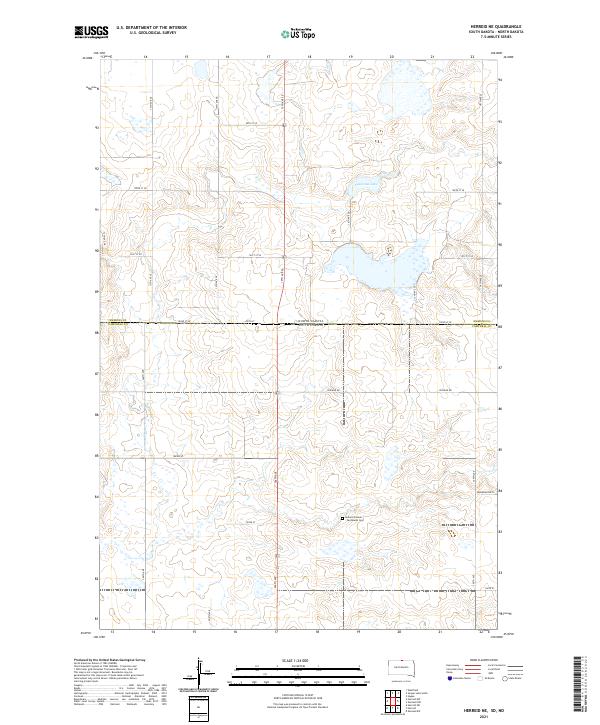
2021 Herreid NE
Campbell County, SD
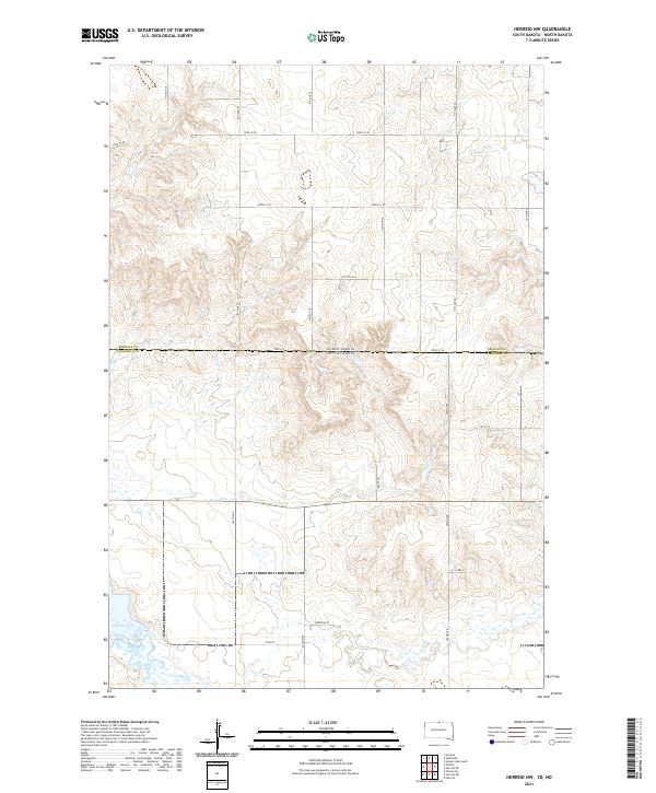
2021 Herreid NW
Campbell County, SD
2021 Herreid SW
Campbell County, SD
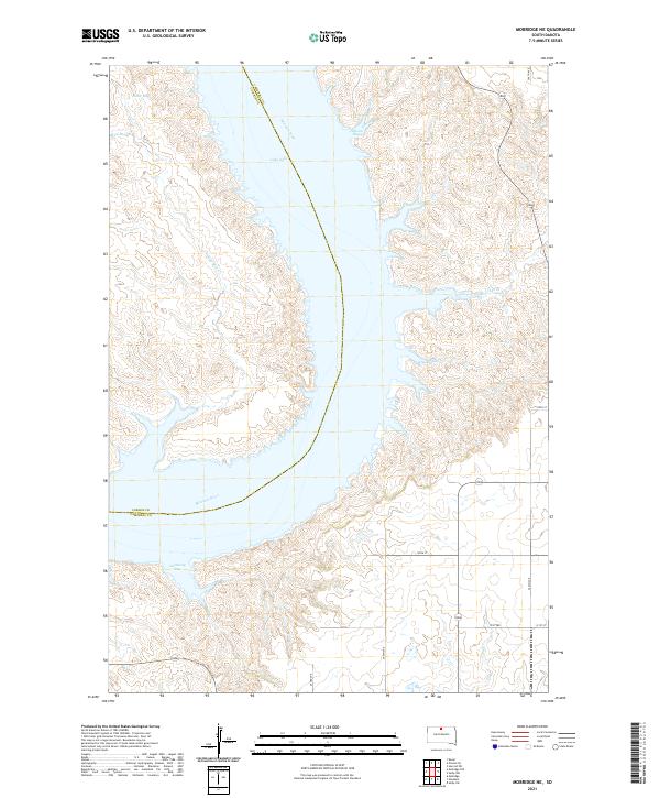
2021 Mobridge NE
Campbell County, SD
2021 Mutske Lake
Campbell County, SD
2021 Pollock NW
Campbell County, SD
2021 Pollock SE
Campbell County, SD
2021 Salt Lake
Campbell County, SD
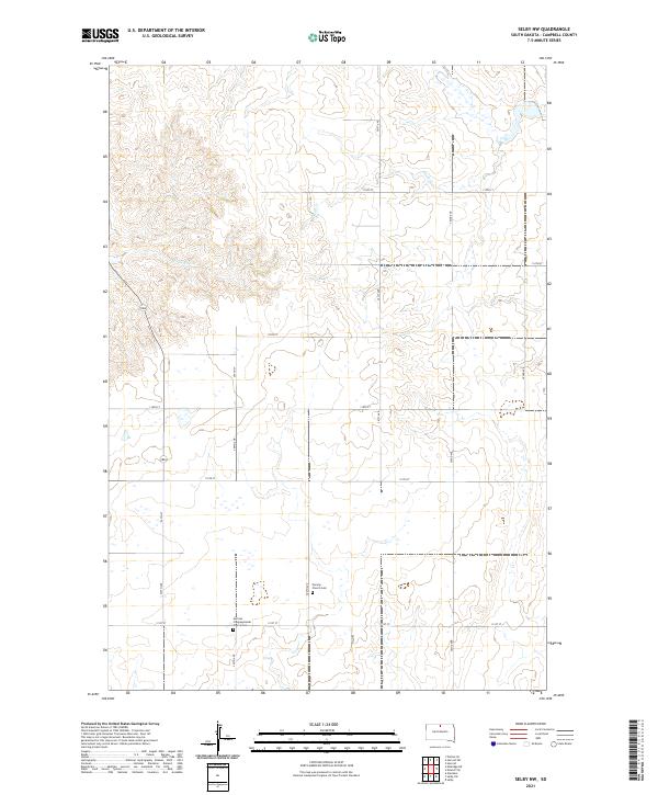
2021 Selby NW
Campbell County, SD
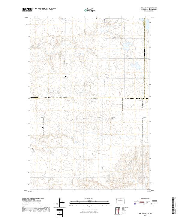
2021 Zeeland NW
Campbell County, SD
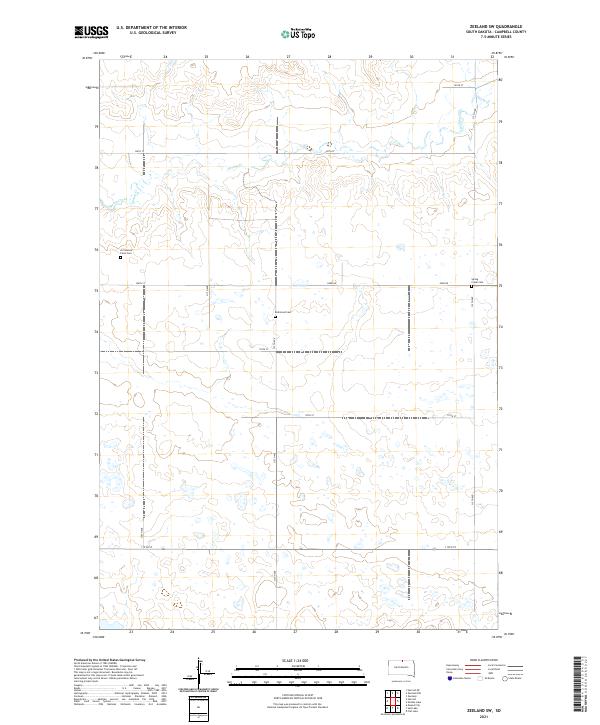
2021 Zeeland SW
Campbell County, SD