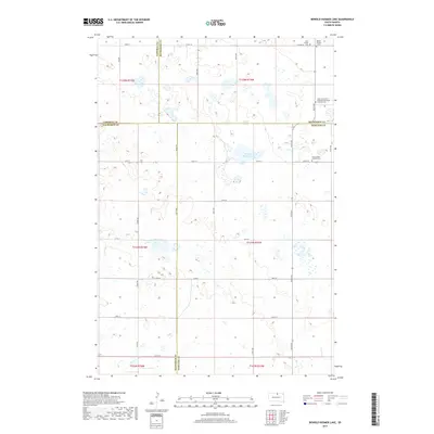
2017 Map of Bowdle-Hosmer Lake
USGS Topo · Published 2017About this map
The glacial prairie landscape of the Missouri Plateau is prominently displayed across this 2017 survey of the North Dakota borderlands. Characterized by numerous small wetlands and larger bodies of water like Bowdle-Hosmer Lake and Horseshoe Lake, the region reflects a traditional rural settlement pattern centered on family and community hubs. Significant for genealogists and local historians, the area is punctuated by several religious landmarks, including Saint Joseph Catholic Cem and the Saint John's Cem - Johannes Gemeinde Lutheran Cem. These sites, along with Saint Joseph Cem and Bethel Number 2 Cem, provide a clear record of the area's denominational heritage. The map details the intersection of four counties, including the border between Campbell and Walworth, connected by a grid of rural routes such as Co Hwy 16 and Co Rd 4.
Find a feature on this map
25 named features on this map. Tap any name to fly to it.
Don’t see what you’re looking for? This feature index may not catch every label — zoom into the map to look around manually.
Map Details
Editions of this 2017 Bowdle-Hosmer Lake Map
This is the sole edition of this map. No revisions or reprints were ever made.
Other maps of this area
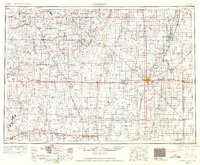
1954 · Aberdeen
USGS Topo · 1:250,000
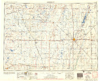
1956 · Aberdeen
USGS Topo · 1:250,000
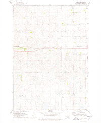
1974 · Gretna
USGS Topo · 1:24,000
1974 · Spring Lake
USGS Topo · 1:24,000
1974 · Bowdle
USGS Topo · 1:24,000
1978 · Hillsview SE
USGS Topo · 1:24,000
1978 · Bowdle-Hosmer Lake
USGS Topo · 1:24,000
1978 · Java SE
USGS Topo · 1:24,000
1978 · Flat Lake
USGS Topo · 1:24,000
1978 · Feinstein Lake
USGS Topo · 1:24,000