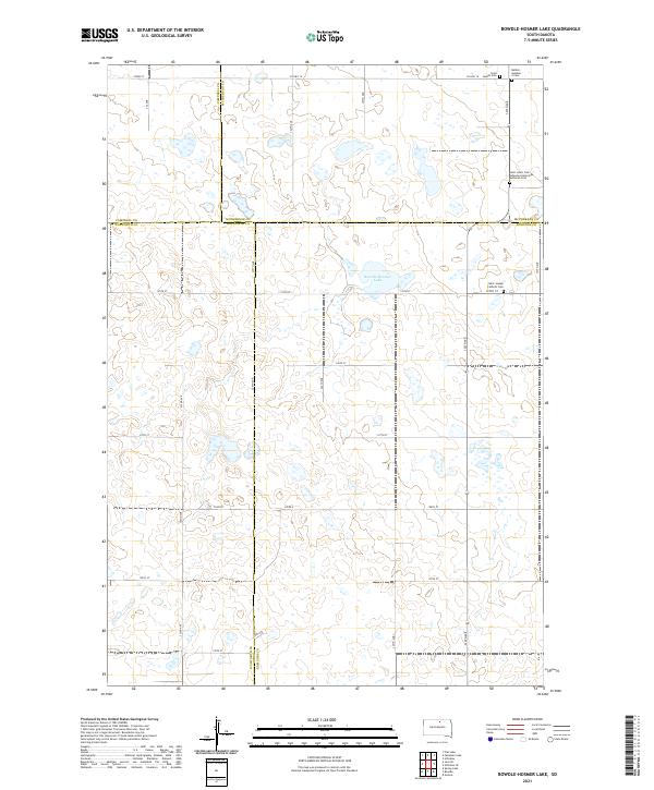
2021 Map of Bowdle-Hosmer Lake
USGS Topo · Published 2021About this map
Bowdle-Hosmer Lake sits at the heart of this prairie landscape, where the borders of McPherson, Edmunds, Walworth, and Campbell counties converge. The map documents a sparsely settled agricultural region defined by a precise section-line road grid, including Co Hwy 16 and Co Rd 4. Genealogists will find significant value in the distribution of rural burial sites that mark the era's community centers, such as Saint Joseph Catholic Cem and the Saint John's Cem - Johannes Gemeinde Lutheran Cem. These small cemeteries, often associated with specific religious congregations like the Johannes Gemeinde Lutheran community, provide a footprint of the ethnic and denominational settlements that organized the South Dakota plains during the early 20th century.
Find a feature on this map
35 named features on this map. Tap any name to fly to it.
Don’t see what you’re looking for? This feature index may not catch every label — zoom into the map to look around manually.
Map Details
Editions of this 2021 Bowdle-Hosmer Lake Map
This is the sole edition of this map. No revisions or reprints were ever made.
Other maps of this area

1954 · Aberdeen
USGS Topo · 1:250,000

1956 · Aberdeen
USGS Topo · 1:250,000

1974 · Gretna
USGS Topo · 1:24,000

1974 · Spring Lake
USGS Topo · 1:24,000

1974 · Bowdle
USGS Topo · 1:24,000

1978 · Hillsview SE
USGS Topo · 1:24,000

1978 · Bowdle-Hosmer Lake
USGS Topo · 1:24,000

1978 · Java SE
USGS Topo · 1:24,000

1978 · Flat Lake
USGS Topo · 1:24,000

1978 · Feinstein Lake
USGS Topo · 1:24,000