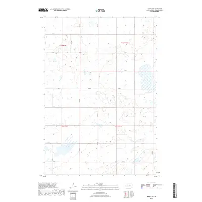
2017 Map of Bowdle SE
USGS Topo · Published 2017About this map
The prairie landscape of southeastern Edmunds County is defined by a rigorous section-line grid of rural roads and numerous glacial prairie potholes. This 2017 survey shows a region managed by the U.S. Department of the Interior and the U.S. Geological Survey, where the terrain is dominated by small, scattered wetlands and ephemeral basins characteristic of the Missouri Coteau. Local transportation is facilitated by a network of county routes, including Co Rd 6, Co Rd 10, and Co Rd 3. This layout reflects the enduring influence of the Public Land Survey System, with boundaries clearly marked for t122n r73w and surrounding townships. The lack of concentrated settlements highlights the area's agricultural character, where most human activity is tied to the maintenance of rural thoroughfares like 140th St and 330th Ave.
Find a feature on this map
20 named features on this map. Tap any name to fly to it.
Don’t see what you’re looking for? This feature index may not catch every label — zoom into the map to look around manually.
Map Details
Editions of this 2017 Bowdle SE Map
This is the sole edition of this map. No revisions or reprints were ever made.
Other maps of this area
1950 · Onaka
USGS Topo · 1:24,000
1952 · Onaka
USGS Topo · 1:24,000
1954 · Aberdeen
USGS Topo · 1:250,000
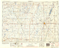
1956 · Aberdeen
USGS Topo · 1:250,000
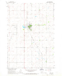
1965 · Onaka
USGS Topo · 1:24,000
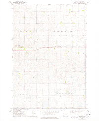
1974 · Gretna
USGS Topo · 1:24,000
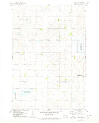
1974 · Bowdle SE
USGS Topo · 1:24,000
1974 · Roscoe SW
USGS Topo · 1:24,000
1974 · Bowdle
USGS Topo · 1:24,000
1978 · Tolstoy
USGS Topo · 1:24,000