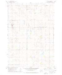
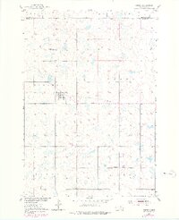
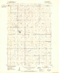
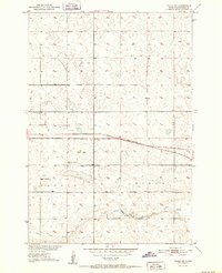
1978 Map of Tolstoy
USGS Topo · Published 1978About this map
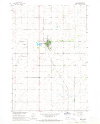
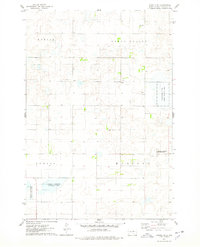
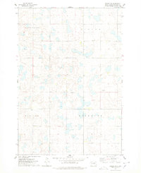
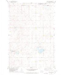
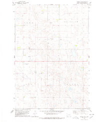
Tolstoy stands as the primary hub of this Potter County landscape, surrounded by a rolling prairie marked by the intersection of several townships including Logan, Sherman, Fairview, and Elroy. The settlement pattern reflects the enduring importance of community identity in rural South Dakota, anchored by numerous denominational burial grounds such as St Jacobs Cem, Lutheran Cem, Zion Cem, and the Seventh-day Adventist Cem. An Old Railroad Grade cuts across the center of the sheet, tracing the path of former rail commerce that once linked these high-plains townships. The map details a transition in land use, where the boundary lines of Edmunds and Faulk counties meet, highlighting the dispersed nature of homesteads and the local infrastructure like the Sewage Disposal Pond serving the main townsite.
Find a feature on this map
15 named features on this map. Tap any name to fly to it.
Don’t see what you’re looking for? This feature index may not catch every label — zoom into the map to look around manually.
Map Details
Editions of this 1978 Tolstoy Map
This is the sole edition of this map. No revisions or reprints were ever made.
Other maps of this area
1950 · Onaka
USGS Topo · 1:24,000
1952 · Onaka
USGS Topo · 1:24,000
1952 · Onaka SW
USGS Topo · 1:24,000

1954 · Aberdeen
USGS Topo · 1:250,000

1956 · Aberdeen
USGS Topo · 1:250,000
1965 · Onaka
USGS Topo · 1:24,000
1974 · Bowdle SE
USGS Topo · 1:24,000
1974 · Roscoe SW
USGS Topo · 1:24,000
1978 · Seneca NW
USGS Topo · 1:24,000
1978 · Seneca SW
USGS Topo · 1:24,000