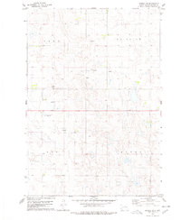
1978 Map of Seneca SW
USGS Topo · Published 1978About this map
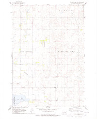
The rolling pothole prairie of Potter County is defined here by a landscape of small, unnamed wetlands and the remnants of early infrastructure. Surveyed in the late 1970s, the map reveals the lingering imprint of the Old Railroad Grade cutting across the northern half of the township, marking a transportation corridor that once connected these rural townships. The map is organized into four distinct townships—Carr, Fairview, Roy, and Canton—reflecting the systematic land division that governed South Dakota's settlement. Aside from a few industrial sites like Gravel Pits, the terrain is largely defined by its natural drainage patterns, illustrating the agricultural character of the region before modern intensive development altered the density of its road networks.
Find a feature on this map
8 named features on this map. Tap any name to fly to it.
Don’t see what you’re looking for? This feature index may not catch every label — zoom into the map to look around manually.
Map Details
Editions of this 1978 Seneca SW Map
This is the sole edition of this map. No revisions or reprints were ever made.
Other maps of this area

1953 · Huron
USGS Topo · 1:250,000

1954 · Aberdeen
USGS Topo · 1:250,000

1954 · Huron
USGS Topo · 1:250,000

1956 · Aberdeen
USGS Topo · 1:250,000

1974 · Hoven
USGS Topo · 1:24,000
1974 · Gettysburg Muni. Airport NE
USGS Topo · 1:24,000
1978 · Bald Hills
USGS Topo · 1:24,000
1978 · Tolstoy
USGS Topo · 1:24,000

1978 · Seneca NW
USGS Topo · 1:24,000
1978 · Thomas Lake NW
USGS Topo · 1:24,000