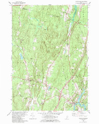
1980 Map of Bowdoinham
USGS Topo · Published 1989About this map
Bowdoinham and the meandering Cathance River define this rural landscape in Sagadahoc County during the late 20th century. The settlement pattern is anchored by several historic corners, including Richmond Corner, Varney Corner, and Starbird Corner, reflecting the area's agricultural and crossroads heritage. The map provides a detailed view of local genealogy through numerous burial grounds like North Cem, Hix Small Cem, and Coombs Cem, often situated near family-named landmarks like Hornbeam Hill. Modern infrastructure, such as the Maine Turnpike and Merrymeeting Field, contrasts with the winding Dead River and Sedgeley Brook. This survey provides a precise record of the transition from wooded ridges like Bowdoinham Ridge to the tidal flats near Patten Pt, capturing the town's character before modern suburban development further altered the traditional Maine township structure.
Find a feature on this map
45 named features on this map. Tap any name to fly to it.
Don’t see what you’re looking for? This feature index may not catch every label — zoom into the map to look around manually.
Map Details
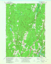
Editions of this 1980 Bowdoinham Map
2 editions found
Other maps of this area

1892 · Gardiner
USGS Topo · 1:62,500

1892 · Freeport
USGS Topo · 1:62,500

1894 · Bath
USGS Topo · 1:62,500

1908 · Lewiston
USGS Topo · 1:62,500

1920 · Bath
USGS Topo · 1:62,500

1941 · Freeport
USGS Topo · 1:62,500

1942 · Lewiston
USGS Topo · 1:62,500

1943 · Gardiner
USGS Topo · 1:62,500

1944 · Freeport
USGS Topo · 1:62,500

1945 · Bath
USGS Topo · 1:62,500