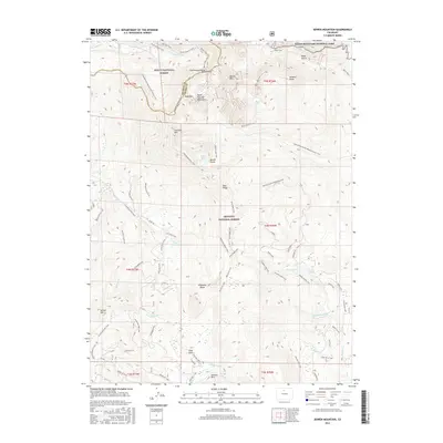
2016 Map of Bowen Mountain
USGS Topo · Published 2016About this map
Pony Park and the surrounding high-country terrain are meticulously detailed in this survey of the northern Colorado Rockies. The Continental Divide winds through the landscape, serving as a boundary for three major wilderness areas: Routt National Forest, Rocky Mountain National Park, and Arapaho National Forest. The presence of the Grand Ditch in the northeast corner highlights early 20th-century water engineering, designed to divert runoff across the divide.
Find a feature on this map
72 named features on this map. Tap any name to fly to it.
Don’t see what you’re looking for? This feature index may not catch every label — zoom into the map to look around manually.
Map Details
Editions of this 2016 Bowen Mountain Map
This is the sole edition of this map. No revisions or reprints were ever made.
Other maps of this area
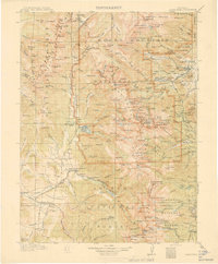
1915 · Longs Peak
USGS Topo · 1:125,000
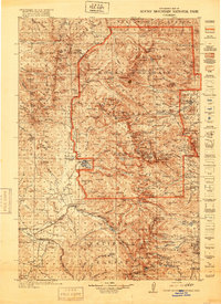
1919 · Rocky Mountain National Park
USGS Topo · 1:125,000
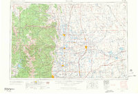
1954 · Greeley
USGS Topo · 1:250,000

1954 · Craig
USGS Topo · 1:250,000
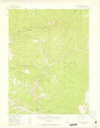
1956 · Radial Mountain
USGS Topo · 1:24,000
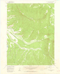
1956 · Jack Creek Ranch
USGS Topo · 1:24,000
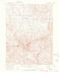
1956 · Rand
USGS Topo · 1:62,500
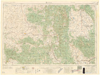
1957 · Craig
USGS Topo · 1:250,000
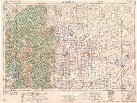
1957 · Greeley
USGS Topo · 1:250,000
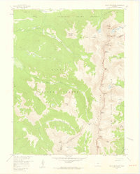
1957 · Mount Richthofen
USGS Topo · 1:24,000