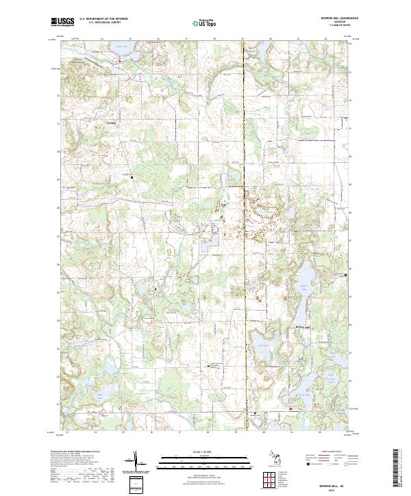
2023 Map of Bowens Mill
USGS Topo · Published 2023About this map
Bowens Mill and the surrounding lake country of Allegan and Barry counties are meticulously documented in this contemporary survey. The landscape is defined by its glacial hydrology, featuring a dense network of water bodies such as the large Green Lake in the northwest and Chief Noonday Lake to the southeast. The Rabbit River and various managed drainage systems like Fales Drain and McIntyre Lake Drain illustrate the region's complex water management.
Find a feature on this map
79 named features on this map. Tap any name to fly to it.
Don’t see what you’re looking for? This feature index may not catch every label — zoom into the map to look around manually.
Map Details
Editions of this 2023 Bowens Mill Map
This is the sole edition of this map. No revisions or reprints were ever made.
Other maps of this area

1914 · Grand Rapids
USGS Topo · 1:62,500

1918 · Lowell
USGS Topo · 1:62,500

1943 · Grand Rapids
USGS Topo · 1:62,500

1943 · Lowell
USGS Topo · 1:62,500

1951 · Hastings
USGS Topo · 1:62,500

1958 · Grand Rapids
USGS Topo · 1:250,000

1959 · Wayland
USGS Topo · 1:62,500

1961 · Grand Rapids
USGS Topo · 1:250,000

1962 · Grand Rapids
USGS Topo · 1:250,000
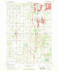
1967 · Cutlerville
USGS Topo · 1:24,000
Featured Places
- Wayland, MI
- Yankee Springs Township, MI
- Wayland Township, MI
- Leighton Township, MI
- Thornapple Township, MI