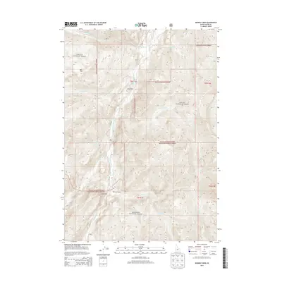
2013 Map of Bowery Creek
USGS Topo · Published 2013About this map
The East Fork Salmon River carves a central path through this high-elevation landscape within the Challis National Forest and Sawtooth National Forest. A primary artery for the region, the E Fork Rd follows the river's course, providing access to remote outposts such as the Little Boulder Transfer Camp and the Bowery Creek Trailhead Camp. These sites serve as entry points to a complex network of drainages, including Big Boulder Cr and Germania Cr.
Find a feature on this map
25 named features on this map. Tap any name to fly to it.
Don’t see what you’re looking for? This feature index may not catch every label — zoom into the map to look around manually.
Map Details
Editions of this 2013 Bowery Creek Map
This is the sole edition of this map. No revisions or reprints were ever made.
Other maps of this area
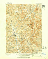
1895 · Hailey
USGS Topo · 1:125,000
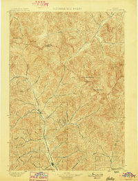
1897 · Hailey
USGS Topo · 1:125,000
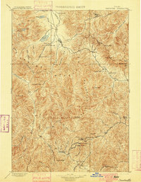
1900 · Sawtooth
USGS Topo · 1:125,000
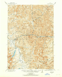
1919 · Custer
USGS Topo · 1:125,000
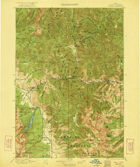
1922 · Custer
USGS Topo · 1:125,000
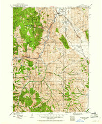
1929 · Bayhorse
USGS Topo · 1:125,000

1955 · Hailey
USGS Topo · 1:250,000

1957 · Challis
USGS Topo · 1:250,000

1959 · Hailey
USGS Topo · 1:250,000

1960 · Challis
USGS Topo · 1:250,000