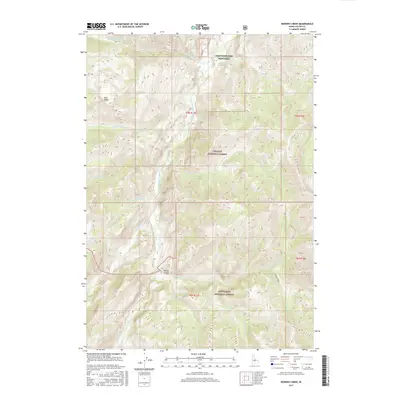
2017 Map of Bowery Creek
USGS Topo · Published 2017About this map
The East Fork Salmon River carves a deep path through Custer County, Idaho, serving as the central drainage for a series of high-elevation tributaries. This 2017 survey shows the river flanked by the Challis National Forest to the north and the Sawtooth National Forest to the south. Notable landmarks include the Sawtooth Fish Hatchery along the river banks and Narrow Canyon, where the water transitions through steep vertical drops.
Find a feature on this map
29 named features on this map. Tap any name to fly to it.
Don’t see what you’re looking for? This feature index may not catch every label — zoom into the map to look around manually.
Map Details
Editions of this 2017 Bowery Creek Map
This is the sole edition of this map. No revisions or reprints were ever made.
Other maps of this area
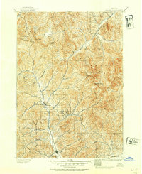
1895 · Hailey
USGS Topo · 1:125,000
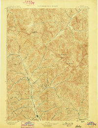
1897 · Hailey
USGS Topo · 1:125,000
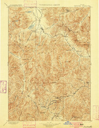
1900 · Sawtooth
USGS Topo · 1:125,000
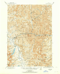
1919 · Custer
USGS Topo · 1:125,000
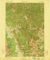
1922 · Custer
USGS Topo · 1:125,000
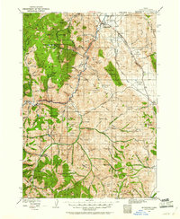
1929 · Bayhorse
USGS Topo · 1:125,000

1955 · Hailey
USGS Topo · 1:250,000

1957 · Challis
USGS Topo · 1:250,000

1959 · Hailey
USGS Topo · 1:250,000

1960 · Challis
USGS Topo · 1:250,000