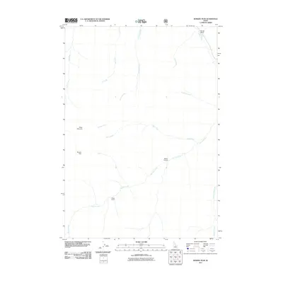
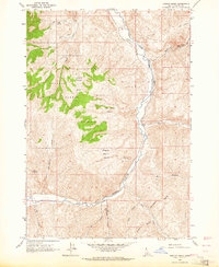
2011 Map of Bowery Peak
USGS Topo · Published 2011About this map
Bowery Peak and Sheep Mountain dominate this high-altitude landscape in Custer County, Idaho, during a 2011 survey of the region's complex drainages. The topography is defined by an intricate network of waterways, with East Pass Creek serving as a central artery for the area's hydrology. This particular survey is notable for its lack of modern development, showing a wilderness preserved within U.S. Forest Service lands where infrastructure is limited to the isolated Sheep Bridge crossing. The convergence of Middle Canyon with various tributaries like Taylor Creek and McDonald Creek illustrates a classic Western mountain drainage system. Local-history researchers can trace the natural boundaries and watershed divisions that have historically dictated movement through these peaks, including the northern flow of Herd Creek toward Spring Gulch.
Find a feature on this map
15 named features on this map. Tap any name to fly to it.
Don’t see what you’re looking for? This feature index may not catch every label — zoom into the map to look around manually.
Map Details
Editions of this 2011 Bowery Peak Map
This is the sole edition of this map. No revisions or reprints were ever made.
Other maps of this area
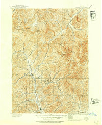
1895 · Hailey
USGS Topo · 1:125,000
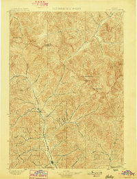
1897 · Hailey
USGS Topo · 1:125,000
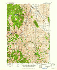
1929 · Bayhorse
USGS Topo · 1:125,000

1955 · Hailey
USGS Topo · 1:250,000

1957 · Challis
USGS Topo · 1:250,000

1959 · Hailey
USGS Topo · 1:250,000

1960 · Challis
USGS Topo · 1:250,000

1962 · Hailey
USGS Topo · 1:250,000

1963 · Challis
USGS Topo · 1:250,000
1963 · Ziegler Basin
USGS Topo · 1:24,000